Area Overview for CB7 5DF
Photos of CB7 5DF
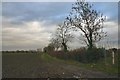

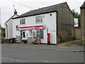
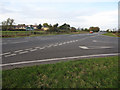
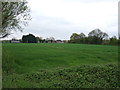

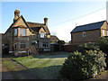
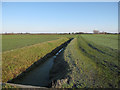
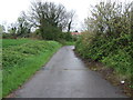
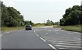
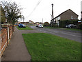
11 photos from this area
Area Information
Key information about the CB7 5DF including its size, population, and administrative classification.
- Area Type
- Postcode
- Area Size
- 1.6 hectares
- Population
- 2008
- Population Density
- 3339 people/km²
House Prices in CB7 5DF
11
Properties
£201,328
Average Sold Price
£140,000
Lowest Price
£335,000
Highest Price
Showing 11 properties
| Address | Type | Beds | Baths | Last Sale Price | Last Sale Date | |
|---|---|---|---|---|---|---|
| Bumble Cottage, 79 Qua Fen Common, Soham, CB7 5DF | house | 2 | 2 | £266,000 | Aug 2023 | |
| 81 Qua Fen Common, Soham, CB7 5DF | house | 2 | - | £195,000 | Apr 2021 | |
| Downfield Farm, 87 Qua Fen Common, Soham, CB7 5DF | Semi-detached | 3 | 2 | £335,000 | Feb 2019 | |
| 73 Qua Fen Common, Soham, CB7 5DF | Semi-detached | 3 | - | £210,000 | Oct 2016 | |
| 83 Qua Fen Common, Soham, CB7 5DF | Detached | 3 | - | £179,950 | Sep 2014 | |
| 71 Qua Fen Common, Soham, CB7 5DF | house | - | - | £156,000 | Jan 2014 | |
| 77 Qua Fen Common, Soham, CB7 5DF | house | 2 | 1 | £170,000 | Sep 2013 | |
| 75 Qua Fen Common, Soham, CB7 5DF | house | - | - | £140,000 | Oct 2009 | |
| 85 Qua Fen Common, Soham, CB7 5DF | house | - | - | £160,000 | Dec 2003 | |
| 71A Qua Fen Common, Soham, CB7 5DF | Detached | 4 | 2 | - | - |
Page 1 of 2
Energy Efficiency in CB7 5DF
Amenities
Schools
| Rank | School | Type | Entry gender | Ages |
|---|
Explore more schools in this area
Go to Schools tabDemographics
Household Size
Two person
most common
Accommodation Type
Houses
most common
Tenure
69
majority
Ethnic Group
White
most common
Religion
N/A
most common
Household Composition
N/A
most common
Age
47
median
Adults (30-64 years)
most common
Household Deprivation
N/A
with no deprivation
NS-SEC
31
in Lower managerial occupations
Explore more demographic insights in this area
Go to Demographics tabPlanning
Planning Constraints
- Flood RiskPremium
- Ramsar Wetland SitesPremium
- Area of Outstanding Natural BeautyPremium
- Protected Nature ReservePremium
- Protected WoodlandPremium