Area Overview for CB7 4UP
Photos of CB7 4UP
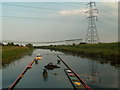
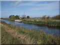
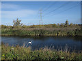
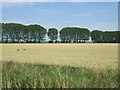
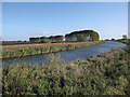
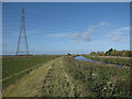
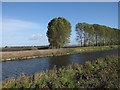
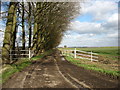
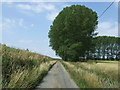
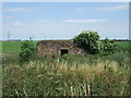
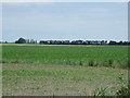
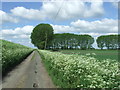
14 photos from this area
Area Information
Key information about the CB7 4UP including its size, population, and administrative classification.
- Area Type
- Postcode
- Area Size
- 1.8 km²
- Population
- 1225
- Population Density
- 48 people/km²
House Prices in CB7 4UP
15
Properties
£429,167
Average Sold Price
£185,000
Lowest Price
£715,000
Highest Price
Showing 15 properties
| Address | Type | Beds | Baths | Last Sale Price | Last Sale Date | |
|---|---|---|---|---|---|---|
| Bridge Farm, Padnal Bank, Prickwillow, CB7 4UP | house | - | - | £515,000 | Oct 2024 | |
| Thorntree House, Padnal Bank, Prickwillow, CB7 4UP | house | - | - | £715,000 | May 2022 | |
| Riverside Cottage, Padnal Bank, Prickwillow, CB7 4UP | Detached | 4 | 2 | £485,000 | Dec 2017 | |
| Grebe House, Padnal Bank, Prickwillow, CB7 4UP | house | 2 | - | £375,000 | Aug 2014 | |
| 2 Padnal Bank, Prickwillow, CB7 4UP | Detached | 3 | 3 | £300,000 | Apr 2007 | |
| Riverdale, Padnal Bank, Prickwillow, CB7 4UP | Detached | - | - | £185,000 | Apr 2002 | |
| Breckland, Padnal Bank, Prickwillow, CB7 4UP | Detached | 4 | 3 | - | - | |
| Derail, Padnal Bank, Prickwillow, CB7 4UP | Chalet | 4 | 2 | - | - | |
| Hawks Farm, Padnal Bank, Prickwillow, CB7 4UP | house | 5 | - | - | - | |
| White Bungalow, Padnal Bank, Prickwillow, CB7 4UP | undefined | - | - | - | - |
Page 1 of 2
Energy Efficiency in CB7 4UP
Amenities
Schools
| Rank | School | Type | Entry gender | Ages |
|---|
Explore more schools in this area
Go to Schools tabDemographics
Household Size
Two person
most common
Accommodation Type
Houses
most common
Tenure
69
majority
Ethnic Group
White
most common
Religion
N/A
most common
Household Composition
N/A
most common
Age
47
median
Adults (30-64 years)
most common
Household Deprivation
N/A
with no deprivation
NS-SEC
34
in Lower managerial occupations
Explore more demographic insights in this area
Go to Demographics tabPlanning
Planning Constraints
- Flood RiskPremium
- Ramsar Wetland SitesPremium
- Area of Outstanding Natural BeautyPremium
- Protected Nature ReservePremium
- Protected WoodlandPremium