Area Overview for CB7 4TD
Photos of CB7 4TD
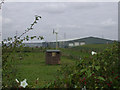
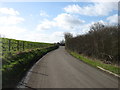
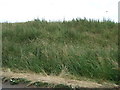
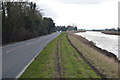
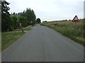
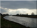
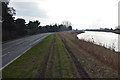
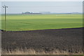
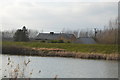
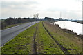
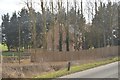
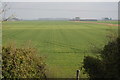
16 photos from this area
Area Information
Key information about the CB7 4TD including its size, population, and administrative classification.
- Area Type
- Postcode
- Area Size
- 3.3 km²
- Population
- 1770
- Population Density
- 45 people/km²
House Prices in CB7 4TD
16
Properties
£293,500
Average Sold Price
£126,000
Lowest Price
£450,000
Highest Price
Showing 16 properties
| Address | Type | Beds | Baths | Last Sale Price | Last Sale Date | |
|---|---|---|---|---|---|---|
| Gardeners Cottage, Lynn Road, Littleport, CB7 4TD | house | - | - | £390,000 | Sep 2023 | |
| Plantation House, Lynn Road, Littleport, CB7 4TD | Detached | 8 | - | £335,000 | Apr 2020 | |
| Thompson Farm House, Lynn Road, Littleport, CB7 4TD | Detached | 4 | 3 | £450,000 | Jun 2017 | |
| The Crooked House, Lynn Road, Littleport, CB7 4TD | house | 2 | - | £130,000 | Sep 2011 | |
| Riverside Bungalow, Lynn Road, Littleport, CB7 4TD | Bungalow | 3 | - | £330,000 | Sep 2011 | |
| Waterside Lodge, Lynn Road, Littleport, CB7 4TD | Bungalow | 4 | 2 | £126,000 | Apr 2001 | |
| Hillandor, Lynn Road, Littleport, CB7 4TD | undefined | - | - | - | - | |
| Black Horse Farm, Lynn Road, Littleport, CB7 4TD | Farm | - | - | - | - | |
| 2, Black Horse Farm, Lynn Road, Littleport, CB7 4TD | Bungalow | - | - | - | - | |
| 1, Black Horse Farm, Lynn Road, Littleport, CB7 4TD | Bungalow | - | - | - | - |
Page 1 of 2
Energy Efficiency in CB7 4TD
Amenities
Schools
| Rank | School | Type | Entry gender | Ages |
|---|
Explore more schools in this area
Go to Schools tabDemographics
Household Size
Two person
most common
Accommodation Type
Houses
most common
Tenure
60
majority
Ethnic Group
White
most common
Religion
N/A
most common
Household Composition
N/A
most common
Age
47
median
Adults (30-64 years)
most common
Household Deprivation
N/A
with no deprivation
NS-SEC
29
in Lower managerial occupations
Explore more demographic insights in this area
Go to Demographics tabPlanning
Planning Constraints
- Flood RiskPremium
- Ramsar Wetland SitesPremium
- Area of Outstanding Natural BeautyPremium
- Protected Nature ReservePremium
- Protected WoodlandPremium