Area Overview for CB6 3TF
Photos of CB6 3TF
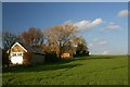
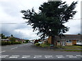
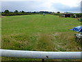
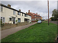
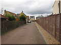
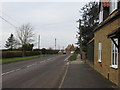
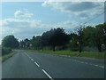
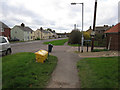
9 photos from this area
Area Information
Key information about the CB6 3TF including its size, population, and administrative classification.
- Area Type
- Postcode
- Area Size
- 19.1 hectares
- Population
- 1674
- Population Density
- 96 people/km²
House Prices in CB6 3TF
30
Properties
£220,100
Average Sold Price
£25,000
Lowest Price
£400,000
Highest Price
Showing 30 properties
| Address | Type | Beds | Baths | Last Sale Price | Last Sale Date | |
|---|---|---|---|---|---|---|
| 15 Newtown Road, Haddenham, CB6 3TF | Semi-detached | 2 | 1 | £361,000 | Mar 2025 | |
| 16 Newtown Road, Haddenham, CB6 3TF | Semi-detached | 3 | 1 | £330,000 | Nov 2024 | |
| 30 Newtown Road, Haddenham, CB6 3TF | house | 5 | 3 | £400,000 | Jun 2022 | |
| 23 Newtown Road, Haddenham, CB6 3TF | Semi-detached | 3 | 1 | £275,000 | Nov 2018 | |
| 19 Newtown Road, Haddenham, CB6 3TF | Semi-detached | 3 | - | £260,000 | Jun 2015 | |
| 21 Newtown Road, Haddenham, CB6 3TF | Semi-detached | 3 | - | £172,000 | Oct 2013 | |
| 28 Newtown Road, Haddenham, CB6 3TF | house | - | - | £127,000 | Nov 2008 | |
| 25 Newtown Road, Haddenham, CB6 3TF | Semi-detached | - | - | £86,000 | Aug 2005 | |
| 29 Newtown Road, Haddenham, CB6 3TF | Semi-detached | - | - | £164,995 | Oct 2004 | |
| 26 Newtown Road, Haddenham, CB6 3TF | Semi-detached | - | - | £25,000 | May 1997 |
Page 1 of 3
Energy Efficiency in CB6 3TF
Amenities
Schools
| Rank | School | Type | Entry gender | Ages |
|---|
Explore more schools in this area
Go to Schools tabDemographics
Household Size
Two person
most common
Accommodation Type
Houses
most common
Tenure
68
majority
Ethnic Group
White
most common
Religion
N/A
most common
Household Composition
N/A
most common
Age
47
median
Adults (30-64 years)
most common
Household Deprivation
N/A
with no deprivation
NS-SEC
33
in Lower managerial occupations
Explore more demographic insights in this area
Go to Demographics tabPlanning
Planning Constraints
- Flood RiskPremium
- Ramsar Wetland SitesPremium
- Area of Outstanding Natural BeautyPremium
- Protected Nature ReservePremium
- Protected WoodlandPremium