Area Overview for CB6 3JR
Photos of CB6 3JR
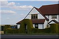
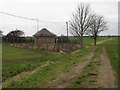
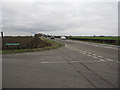
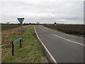
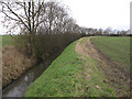
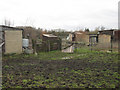

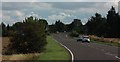
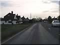
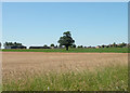
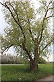
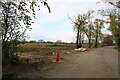
19 photos from this area
Area Information
Key information about the CB6 3JR including its size, population, and administrative classification.
- Area Type
- Postcode
- Area Size
- 28.3 hectares
- Population
- 1808
- Population Density
- 88 people/km²
House Prices in CB6 3JR
31
Properties
£170,937
Average Sold Price
£41,000
Lowest Price
£286,000
Highest Price
Showing 31 properties
| Address | Type | Beds | Baths | Last Sale Price | Last Sale Date | |
|---|---|---|---|---|---|---|
| 14 Akeman Close, Stretham, CB6 3JR | house | 2 | 1 | £218,000 | Apr 2025 | |
| 10 Akeman Close, Stretham, CB6 3JR | Semi-detached | 2 | 1 | £245,000 | Feb 2023 | |
| 8 Akeman Close, Stretham, CB6 3JR | Semi-detached | 2 | 1 | £228,900 | May 2021 | |
| 22 Akeman Close, Stretham, CB6 3JR | Terraced | 2 | - | £227,000 | Sep 2020 | |
| 19 Akeman Close, Stretham, CB6 3JR | Semi-detached | 3 | 2 | £262,000 | Oct 2019 | |
| 2 Akeman Close, Stretham, CB6 3JR | Bungalow | 2 | - | £235,000 | Sep 2019 | |
| 25 Akeman Close, Stretham, CB6 3JR | Semi-detached | 4 | - | £280,000 | Sep 2019 | |
| 18 Akeman Close, Stretham, CB6 3JR | Semi-detached | 3 | 2 | £262,000 | Nov 2017 | |
| 21 Akeman Close, Stretham, CB6 3JR | Semi-detached | 4 | - | £286,000 | Jul 2016 | |
| 27 Akeman Close, Stretham, CB6 3JR | Bungalow | - | - | £169,000 | Jul 2014 |
Page 1 of 4
Energy Efficiency in CB6 3JR
Amenities
Schools
| Rank | School | Type | Entry gender | Ages |
|---|
Explore more schools in this area
Go to Schools tabDemographics
Household Size
Two person
most common
Accommodation Type
Houses
most common
Tenure
72
majority
Ethnic Group
White
most common
Religion
N/A
most common
Household Composition
N/A
most common
Age
47
median
Adults (30-64 years)
most common
Household Deprivation
N/A
with no deprivation
NS-SEC
39
in Lower managerial occupations
Explore more demographic insights in this area
Go to Demographics tabPlanning
Planning Constraints
- Flood RiskPremium
- Ramsar Wetland SitesPremium
- Area of Outstanding Natural BeautyPremium
- Protected Nature ReservePremium
- Protected WoodlandPremium