Area Overview for CB6 1RY
Photos of CB6 1RY
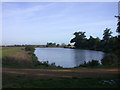
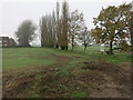
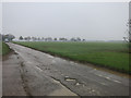
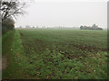
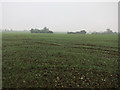
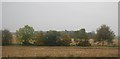
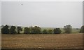
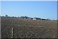
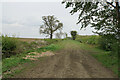
14 photos from this area
Area Information
Key information about the CB6 1RY including its size, population, and administrative classification.
- Area Type
- Postcode
- Area Size
- 42.2 hectares
- Population
- 1773
- Population Density
- 268 people/km²
House Prices in CB6 1RY
24
Properties
£403,286
Average Sold Price
£78,000
Lowest Price
£1,350,000
Highest Price
Showing 24 properties
| Address | Type | Beds | Baths | Last Sale Price | Last Sale Date | |
|---|---|---|---|---|---|---|
| Berrylands, Lynn Road, Chettisham, CB6 1RY | Bungalow | 2 | 1 | £265,000 | Sep 2021 | |
| The Willows, Lynn Road, Chettisham, CB6 1RY | Semi-detached | 3 | 1 | £260,000 | Jun 2017 | |
| Twinwood Cottage, Lynn Road, Chettisham, CB6 1RY | Land | - | - | £1,350,000 | Jun 2017 | |
| Bransford House, Lynn Road, Chettisham, CB6 1RY | Detached | 4 | 2 | £499,999 | Aug 2016 | |
| The Vines, Lynn Road, Chettisham, CB6 1RY | Bungalow | 4 | 2 | £150,000 | Aug 2011 | |
| Pothole Bungalow, Lynn Road, Chettisham, CB6 1RY | Detached | 3 | - | £220,000 | Feb 2001 | |
| Wulverhorst, Lynn Road, Chettisham, CB6 1RY | Detached | - | - | £78,000 | Dec 1995 | |
| Vera Elena, Lynn Road, Chettisham, CB6 1RY | undefined | - | - | - | - | |
| 1 The Cottages, Lynn Road, Chettisham, CB6 1RY | undefined | - | - | - | - | |
| Hawthorn House, Lynn Road, Chettisham, CB6 1RY | Detached | - | - | - | - |
Page 1 of 3
Energy Efficiency in CB6 1RY
Amenities
Schools
| Rank | School | Type | Entry gender | Ages |
|---|
Explore more schools in this area
Go to Schools tabDemographics
Household Size
Two person
most common
Accommodation Type
Houses
most common
Tenure
72
majority
Ethnic Group
White
most common
Religion
N/A
most common
Household Composition
N/A
most common
Age
47
median
Adults (30-64 years)
most common
Household Deprivation
N/A
with no deprivation
NS-SEC
46
in Lower managerial occupations
Explore more demographic insights in this area
Go to Demographics tabPlanning
Planning Constraints
- Flood RiskPremium
- Ramsar Wetland SitesPremium
- Area of Outstanding Natural BeautyPremium
- Protected Nature ReservePremium
- Protected WoodlandPremium