Area Overview for CB4 2EH
Photos of CB4 2EH
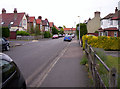
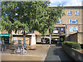
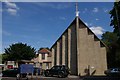
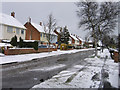
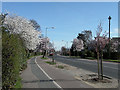
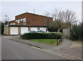
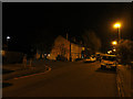
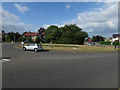
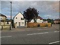
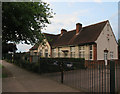

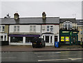
100 photos from this area
Area Information
Key information about the CB4 2EH including its size, population, and administrative classification.
- Area Type
- Postcode
- Area Size
- 1.0 hectares
- Population
- 1558
- Population Density
- 6894 people/km²
House Prices in CB4 2EH
31
Properties
£278,695
Average Sold Price
£64,950
Lowest Price
£445,000
Highest Price
Showing 31 properties
| Address | Type | Beds | Baths | Last Sale Price | Last Sale Date | |
|---|---|---|---|---|---|---|
| 42 Alex Wood Road, Cambridge, CB4 2EH | Terraced | 2 | - | £322,500 | Apr 2024 | |
| 80 Alex Wood Road, Cambridge, CB4 2EH | Semi-detached | 3 | 1 | £377,000 | Jan 2024 | |
| 74 Alex Wood Road, Cambridge, CB4 2EH | Terraced | 3 | 1 | £445,000 | Oct 2021 | |
| 40 Alex Wood Road, Cambridge, CB4 2EH | Terraced | 3 | 1 | £305,000 | Nov 2018 | |
| 88 Alex Wood Road, Cambridge, CB4 2EH | Terraced | 3 | - | £303,000 | Jun 2018 | |
| 38 Alex Wood Road, Cambridge, CB4 2EH | house | - | - | £244,000 | Mar 2015 | |
| 34 Alex Wood Road, Cambridge, CB4 2EH | Semi-detached | 3 | 1 | £265,000 | Feb 2015 | |
| 92 Alex Wood Road, Cambridge, CB4 2EH | Terraced | 1 | 1 | £265,000 | Jun 2014 | |
| 50 Alex Wood Road, Cambridge, CB4 2EH | house | 2 | 1 | £195,500 | Jul 2007 | |
| 84 Alex Wood Road, Cambridge, CB4 2EH | Semi-detached | - | - | £64,950 | Oct 1997 |
Page 1 of 4
Energy Efficiency in CB4 2EH
Amenities
Schools
| Rank | School | Type | Entry gender | Ages |
|---|
Explore more schools in this area
Go to Schools tabDemographics
Household Size
Family (3-5 people)
most common
Accommodation Type
Houses
most common
Tenure
53
majority
Ethnic Group
White
most common
Religion
N/A
most common
Household Composition
N/A
most common
Age
47
median
Adults (30-64 years)
most common
Household Deprivation
N/A
with no deprivation
NS-SEC
35
in Lower managerial occupations
Explore more demographic insights in this area
Go to Demographics tabPlanning
Planning Constraints
- Flood RiskPremium
- Ramsar Wetland SitesPremium
- Area of Outstanding Natural BeautyPremium
- Protected Nature ReservePremium
- Protected WoodlandPremium