Area Overview for CB4 1DT
Photos of CB4 1DT
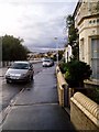

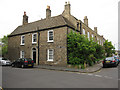
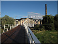


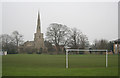
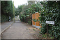
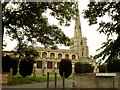
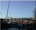

100 photos from this area
Area Information
Key information about the CB4 1DT including its size, population, and administrative classification.
- Area Type
- Postcode
- Area Size
- 2.6 hectares
- Population
- 1341
- Population Density
- 6622 people/km²
House Prices in CB4 1DT
50
Properties
£748,734
Average Sold Price
£16,500
Lowest Price
£3,200,000
Highest Price
Showing 50 properties
| Address | Type | Beds | Baths | Last Sale Price | Last Sale Date | |
|---|---|---|---|---|---|---|
| The Old Coach House, 23 Church Street, Cambridge, CB4 1DT | house | 1 | 1 | £415,000 | Apr 2024 | |
| 25 Church Street, Cambridge, CB4 1DT | house | 2 | 1 | £412,200 | Aug 2023 | |
| 36 Church Street, Cambridge, CB4 1DT | house | 4 | 3 | £851,000 | Jan 2023 | |
| The Glebe House, Church Street, Cambridge, CB4 1DT | house | - | - | £3,200,000 | Dec 2022 | |
| 5 Church Street, Cambridge, CB4 1DT | house | 4 | - | £1,200,000 | Feb 2021 | |
| 7 Church Street, Cambridge, CB4 1DT | Detached | 5 | 4 | £1,400,000 | Nov 2020 | |
| 22 Church Street, Cambridge, CB4 1DT | house | - | - | £1,825,000 | Aug 2020 | |
| 9 Church Street, Cambridge, CB4 1DT | Detached | 4 | 3 | £1,325,000 | Jun 2019 | |
| 25A Church Street, Cambridge, CB4 1DT | Terraced | 2 | 1 | £345,000 | Oct 2018 | |
| 26 Church Street, Cambridge, CB4 1DT | Terraced | 3 | 1 | £360,000 | Feb 2018 |
Page 1 of 5
Energy Efficiency in CB4 1DT
Amenities
Schools
| Rank | School | Type | Entry gender | Ages |
|---|
Explore more schools in this area
Go to Schools tabDemographics
Household Size
One person
most common
Accommodation Type
Houses
most common
Tenure
42
majority
Ethnic Group
White
most common
Religion
N/A
most common
Household Composition
N/A
most common
Age
47
median
Adults (30-64 years)
most common
Household Deprivation
N/A
with no deprivation
NS-SEC
51
in Lower managerial occupations
Explore more demographic insights in this area
Go to Demographics tabPlanning
Planning Constraints
- Flood RiskPremium
- Ramsar Wetland SitesPremium
- Area of Outstanding Natural BeautyPremium
- Protected Nature ReservePremium
- Protected WoodlandPremium