Area Overview for CB3 0XA
Photos of CB3 0XA
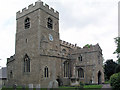
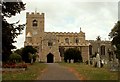
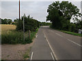
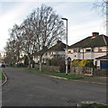
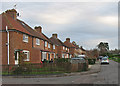
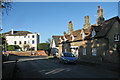
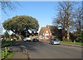
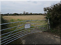
100 photos from this area
Area Information
Key information about the CB3 0XA including its size, population, and administrative classification.
- Area Type
- Postcode
- Area Size
- 3.6 hectares
- Population
- 2167
- Population Density
- 416 people/km²
House Prices in CB3 0XA
24
Properties
£412,955
Average Sold Price
£195,000
Lowest Price
£550,000
Highest Price
Showing 24 properties
| Address | Type | Beds | Baths | Last Sale Price | Last Sale Date | |
|---|---|---|---|---|---|---|
| 20 Churchfield Court, Girton, CB3 0XA | house | 3 | 2 | £530,000 | Apr 2025 | |
| 19 Churchfield Court, Girton, CB3 0XA | Maisonette | 3 | 2 | £540,000 | Nov 2023 | |
| 24 Churchfield Court, Girton, CB3 0XA | Flat | 2 | 2 | £515,000 | Aug 2023 | |
| 21 Churchfield Court, Girton, CB3 0XA | Flat | 2 | 2 | £525,000 | Apr 2023 | |
| 15 Churchfield Court, Girton, CB3 0XA | Flat | 3 | 2 | £550,000 | Apr 2023 | |
| 5 Churchfield Court, Girton, CB3 0XA | house | 2 | 2 | £495,000 | Oct 2022 | |
| 9 Churchfield Court, Girton, CB3 0XA | Retail | 2 | 2 | £480,000 | Apr 2022 | |
| 3 Churchfield Court, Girton, CB3 0XA | house | 2 | 2 | £400,000 | Nov 2021 | |
| 11 Churchfield Court, Girton, CB3 0XA | house | 2 | 1 | £475,000 | Oct 2021 | |
| 13 Churchfield Court, Girton, CB3 0XA | Flat | 2 | 2 | £432,500 | Mar 2021 |
Page 1 of 3
Energy Efficiency in CB3 0XA
Amenities
Schools
| Rank | School | Type | Entry gender | Ages |
|---|
Explore more schools in this area
Go to Schools tabDemographics
Household Size
Two person
most common
Accommodation Type
Houses
most common
Tenure
72
majority
Ethnic Group
White
most common
Religion
N/A
most common
Household Composition
N/A
most common
Age
47
median
Adults (30-64 years)
most common
Household Deprivation
N/A
with no deprivation
NS-SEC
53
in Lower managerial occupations
Explore more demographic insights in this area
Go to Demographics tabPlanning
Planning Constraints
- Flood RiskPremium
- Ramsar Wetland SitesPremium
- Area of Outstanding Natural BeautyPremium
- Protected Nature ReservePremium
- Protected WoodlandPremium