Area Overview for CB3 0PS
Photos of CB3 0PS


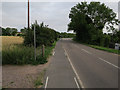
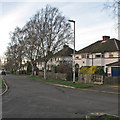
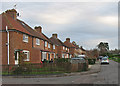
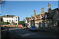
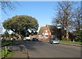
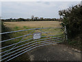


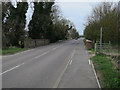
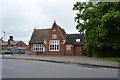
100 photos from this area
Area Information
Key information about the CB3 0PS including its size, population, and administrative classification.
- Area Type
- Postcode
- Area Size
- 1.2 hectares
- Population
- 2167
- Population Density
- 416 people/km²
House Prices in CB3 0PS
36
Properties
£46,140
Average Sold Price
£15,342
Lowest Price
£73,500
Highest Price
Showing 36 properties
| Address | Type | Beds | Baths | Last Sale Price | Last Sale Date | |
|---|---|---|---|---|---|---|
| 35 Orchard Close, Girton, CB3 0PS | Bungalow | - | - | £73,500 | Aug 2002 | |
| 30 Orchard Close, Girton, CB3 0PS | Bungalow | - | - | £63,750 | Feb 2002 | |
| 28 Orchard Close, Girton, CB3 0PS | Bungalow | - | - | £42,500 | Jun 1999 | |
| 20 Orchard Close, Girton, CB3 0PS | Bungalow | - | - | £38,250 | May 1997 | |
| 14 Orchard Close, Girton, CB3 0PS | Bungalow | - | - | £15,342 | Mar 1997 | |
| 8 Orchard Close, Girton, CB3 0PS | Bungalow | - | - | £43,500 | Feb 1997 | |
| Scdc, Wardens Office, 36 Orchard Close, Girton, CB3 0PS | Office | - | - | - | - | |
| 1 Orchard Close, Girton, CB3 0PS | Bungalow | - | - | - | - | |
| 2 Orchard Close, Girton, CB3 0PS | Terraced | - | - | - | - | |
| 9 Orchard Close, Girton, CB3 0PS | Bungalow | - | - | - | - |
Page 1 of 4
Energy Efficiency in CB3 0PS
Amenities
Schools
| Rank | School | Type | Entry gender | Ages |
|---|
Explore more schools in this area
Go to Schools tabDemographics
Household Size
Two person
most common
Accommodation Type
Houses
most common
Tenure
72
majority
Ethnic Group
White
most common
Religion
N/A
most common
Household Composition
N/A
most common
Age
47
median
Adults (30-64 years)
most common
Household Deprivation
N/A
with no deprivation
NS-SEC
53
in Lower managerial occupations
Explore more demographic insights in this area
Go to Demographics tabPlanning
Planning Constraints
- Flood RiskPremium
- Ramsar Wetland SitesPremium
- Area of Outstanding Natural BeautyPremium
- Protected Nature ReservePremium
- Protected WoodlandPremium