Area Overview for CB25 9JG
Photos of CB25 9JG

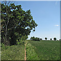

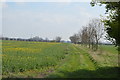

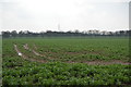
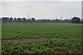
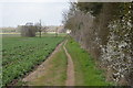
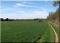
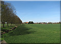
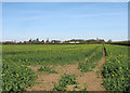
79 photos from this area
Area Information
Key information about the CB25 9JG including its size, population, and administrative classification.
- Area Type
- Postcode
- Area Size
- 1.4 km²
- Population
- 1689
- Population Density
- 83 people/km²
House Prices in CB25 9JG
55
Properties
£321,534
Average Sold Price
£4,000
Lowest Price
£1,125,000
Highest Price
Showing 55 properties
| Address | Type | Beds | Baths | Last Sale Price | Last Sale Date | |
|---|---|---|---|---|---|---|
| Kings Hatch, High Street, Horningsea, CB25 9JG | Detached | 3 | 1 | £600,000 | Jan 2024 | |
| St Johns Cottage, High Street, Horningsea, CB25 9JG | house | 1 | 1 | £365,500 | Jan 2023 | |
| 55 High Street, Horningsea, CB25 9JG | house | - | - | £348,500 | Jun 2021 | |
| The Bungalow, High Street, Horningsea, CB25 9JG | Bungalow | - | - | £535,000 | Jun 2021 | |
| The Boundary, High Street, Horningsea, CB25 9JG | Detached | - | - | £4,000 | Apr 2020 | |
| Linco Cottage, High Street, Horningsea, CB25 9JG | Terraced | 4 | 1 | £445,000 | May 2019 | |
| Audley Cottage, High Street, Horningsea, CB25 9JG | Terraced | 2 | 1 | £315,000 | Feb 2018 | |
| 64 High Street, Horningsea, CB25 9JG | house | - | - | £200,000 | Apr 2017 | |
| The Orchards, High Street, Horningsea, CB25 9JG | house | - | - | £652,000 | Dec 2016 | |
| East View, High Street, Horningsea, CB25 9JG | Terraced | 3 | - | £435,000 | Jun 2016 |
Page 1 of 6
Energy Efficiency in CB25 9JG
Amenities
Schools
| Rank | School | Type | Entry gender | Ages |
|---|
Explore more schools in this area
Go to Schools tabDemographics
Household Size
Two person
most common
Accommodation Type
Houses
most common
Tenure
63
majority
Ethnic Group
White
most common
Religion
N/A
most common
Household Composition
N/A
most common
Age
47
median
Adults (30-64 years)
most common
Household Deprivation
N/A
with no deprivation
NS-SEC
48
in Lower managerial occupations
Explore more demographic insights in this area
Go to Demographics tabPlanning
Planning Constraints
- Flood RiskPremium
- Ramsar Wetland SitesPremium
- Area of Outstanding Natural BeautyPremium
- Protected Nature ReservePremium
- Protected WoodlandPremium