Area Overview for CB25 0HD
Photos of CB25 0HD
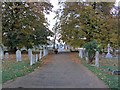
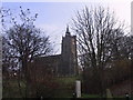
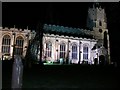
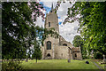
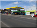
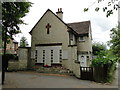
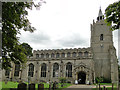
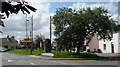
88 photos from this area
Area Information
Key information about the CB25 0HD including its size, population, and administrative classification.
- Area Type
- Postcode
- Area Size
- 3.9 hectares
- Population
- 1860
- Population Density
- 221 people/km²
House Prices in CB25 0HD
58
Properties
£333,571
Average Sold Price
£66,500
Lowest Price
£795,000
Highest Price
Showing 58 properties
| Address | Type | Beds | Baths | Last Sale Price | Last Sale Date | |
|---|---|---|---|---|---|---|
| 56 High Street, Burwell, CB25 0HD | Detached | 3 | 2 | £550,000 | Oct 2025 | |
| Clunch Cottage, 58 High Street, Burwell, CB25 0HD | Detached | 3 | 2 | £500,000 | May 2022 | |
| 36 High Street, Burwell, CB25 0HD | Terraced | 2 | 1 | £278,500 | Sep 2021 | |
| 39 High Street, Burwell, CB25 0HD | Semi-detached | 3 | 3 | £346,250 | Mar 2021 | |
| 44A High Street, Burwell, CB25 0HD | Detached | 4 | 1 | £555,000 | Feb 2021 | |
| 70 High Street, Burwell, CB25 0HD | Semi-detached | 3 | 1 | £271,000 | Feb 2020 | |
| 88 High Street, Burwell, CB25 0HD | Detached | 4 | 4 | £550,000 | Jul 2019 | |
| 35 High Street, Burwell, CB25 0HD | Detached | 6 | 4 | £630,000 | Aug 2018 | |
| 34 High Street, Burwell, CB25 0HD | Detached | 3 | 2 | £400,000 | May 2018 | |
| 86 High Street, Burwell, CB25 0HD | Detached | 2 | 1 | £182,000 | Sep 2017 |
Page 1 of 6
Energy Efficiency in CB25 0HD
Amenities
Schools
| Rank | School | Type | Entry gender | Ages |
|---|
Explore more schools in this area
Go to Schools tabDemographics
Household Size
Two person
most common
Accommodation Type
Houses
most common
Tenure
84
majority
Ethnic Group
White
most common
Religion
N/A
most common
Household Composition
N/A
most common
Age
47
median
Adults (30-64 years)
most common
Household Deprivation
N/A
with no deprivation
NS-SEC
44
in Lower managerial occupations
Explore more demographic insights in this area
Go to Demographics tabPlanning
Planning Constraints
- Flood RiskPremium
- Ramsar Wetland SitesPremium
- Area of Outstanding Natural BeautyPremium
- Protected Nature ReservePremium
- Protected WoodlandPremium