Area Overview for CB25 0EF
Photos of CB25 0EF
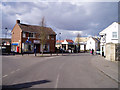
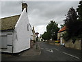
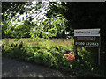
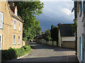
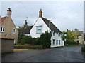
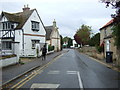
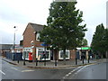
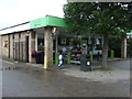
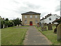
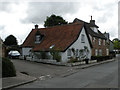
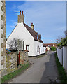
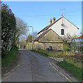
80 photos from this area
Area Information
Key information about the CB25 0EF including its size, population, and administrative classification.
- Area Type
- Postcode
- Area Size
- 5.5 hectares
- Population
- 1359
- Population Density
- 93 people/km²
House Prices in CB25 0EF
95
Properties
£276,963
Average Sold Price
£10,000
Lowest Price
£750,000
Highest Price
Showing 95 properties
| Address | Type | Beds | Baths | Last Sale Price | Last Sale Date | |
|---|---|---|---|---|---|---|
| 110 Silver Street, Burwell, CB25 0EF | Detached | 4 | 2 | £510,000 | Jul 2025 | |
| 57 Silver Street, Burwell, CB25 0EF | Detached | 4 | 2 | £545,000 | Feb 2025 | |
| 35 Silver Street, Burwell, CB25 0EF | Terraced | 3 | 3 | £370,000 | Aug 2024 | |
| 27 Silver Street, Burwell, CB25 0EF | house | - | - | £310,410 | Oct 2022 | |
| 62 Silver Street, Burwell, CB25 0EF | house | - | - | £344,000 | Aug 2022 | |
| 52 Silver Street, Burwell, CB25 0EF | house | - | - | £243,750 | Feb 2022 | |
| 108 Silver Street, Burwell, CB25 0EF | Retail | 4 | 2 | £440,000 | Jan 2022 | |
| 21 Silver Street, Burwell, CB25 0EF | Detached | 4 | 3 | £590,000 | Jan 2022 | |
| 55 Silver Street, Burwell, CB25 0EF | Detached | 4 | - | £225,000 | Aug 2021 | |
| 60 Silver Street, Burwell, CB25 0EF | house | - | - | £269,000 | Jun 2021 |
Page 1 of 10
Energy Efficiency in CB25 0EF
Amenities
Schools
| Rank | School | Type | Entry gender | Ages |
|---|
Explore more schools in this area
Go to Schools tabDemographics
Household Size
Two person
most common
Accommodation Type
Houses
most common
Tenure
84
majority
Ethnic Group
White
most common
Religion
N/A
most common
Household Composition
N/A
most common
Age
47
median
Adults (30-64 years)
most common
Household Deprivation
N/A
with no deprivation
NS-SEC
45
in Lower managerial occupations
Explore more demographic insights in this area
Go to Demographics tabPlanning
Planning Constraints
- Flood RiskPremium
- Ramsar Wetland SitesPremium
- Area of Outstanding Natural BeautyPremium
- Protected Nature ReservePremium
- Protected WoodlandPremium