Area Overview for CB25 0AB
Photos of CB25 0AB
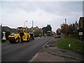
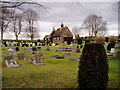
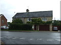
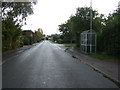
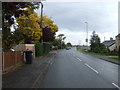
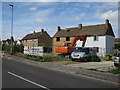
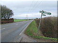
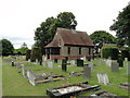
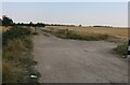
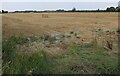
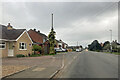
23 photos from this area
Area Information
Key information about the CB25 0AB including its size, population, and administrative classification.
- Area Type
- Postcode
- Area Size
- 11.8 hectares
- Population
- 1429
- Population Density
- 1060 people/km²
House Prices in CB25 0AB
75
Properties
£199,093
Average Sold Price
£60,000
Lowest Price
£475,000
Highest Price
Showing 75 properties
| Address | Type | Beds | Baths | Last Sale Price | Last Sale Date | |
|---|---|---|---|---|---|---|
| 3 Baker Drive, Burwell, CB25 0AB | Bungalow | 3 | 2 | £420,000 | Mar 2025 | |
| 22 Baker Drive, Burwell, CB25 0AB | house | 3 | 1 | £297,500 | Jun 2019 | |
| 2 Baker Drive, Burwell, CB25 0AB | Bungalow | 3 | 1 | £325,000 | May 2018 | |
| 31 Baker Drive, Burwell, CB25 0AB | Bungalow | 2 | 1 | £240,000 | Apr 2018 | |
| 31A Baker Drive, Burwell, CB25 0AB | Detached | 4 | 3 | £475,000 | May 2017 | |
| 4 Baker Drive, Burwell, CB25 0AB | Bungalow | - | - | £240,000 | Jul 2010 | |
| 29 Baker Drive, Burwell, CB25 0AB | Semi-detached | - | - | £159,995 | May 2006 | |
| 24 Baker Drive, Burwell, CB25 0AB | Semi-detached | - | - | £175,000 | Oct 2004 | |
| 18 Baker Drive, Burwell, CB25 0AB | Semi-detached | - | - | £104,000 | Mar 2003 | |
| 65 Baker Drive, Burwell, CB25 0AB | Semi-detached | - | - | £145,000 | Jun 2002 |
Page 1 of 8
Energy Efficiency in CB25 0AB
Amenities
Schools
| Rank | School | Type | Entry gender | Ages |
|---|
Explore more schools in this area
Go to Schools tabDemographics
Household Size
Family (3-5 people)
most common
Accommodation Type
Houses
most common
Tenure
60
majority
Ethnic Group
White
most common
Religion
N/A
most common
Household Composition
N/A
most common
Age
47
median
Adults (30-64 years)
most common
Household Deprivation
N/A
with no deprivation
NS-SEC
30
in Lower managerial occupations
Explore more demographic insights in this area
Go to Demographics tabPlanning
Planning Constraints
- Flood RiskPremium
- Ramsar Wetland SitesPremium
- Area of Outstanding Natural BeautyPremium
- Protected Nature ReservePremium
- Protected WoodlandPremium