Area Overview for CB24 9JT
Photos of CB24 9JT
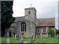

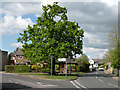
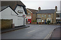

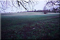
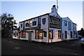

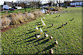
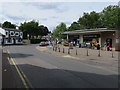
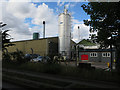

100 photos from this area
Area Information
Key information about the CB24 9JT including its size, population, and administrative classification.
- Area Type
- Postcode
- Area Size
- 5.0 hectares
- Population
- 1648
- Population Density
- 753 people/km²
House Prices in CB24 9JT
64
Properties
£362,339
Average Sold Price
£84,000
Lowest Price
£700,000
Highest Price
Showing 64 properties
| Address | Type | Beds | Baths | Last Sale Price | Last Sale Date | |
|---|---|---|---|---|---|---|
| 29 Manor Park, Histon, CB24 9JT | Detached | 5 | 2 | £700,000 | Aug 2025 | |
| 14 Manor Park, Histon, CB24 9JT | Semi-detached | 3 | 1 | £535,575 | Jul 2024 | |
| 39 Manor Park, Histon, CB24 9JT | Semi-detached | 3 | 2 | £475,000 | Mar 2024 | |
| 54 Manor Park, Histon, CB24 9JT | Semi-detached | 3 | 1 | £513,000 | Mar 2024 | |
| 51 Manor Park, Histon, CB24 9JT | Semi-detached | 3 | 1 | £550,000 | Oct 2023 | |
| 6 Manor Park, Histon, CB24 9JT | Semi-detached | - | - | £470,000 | Aug 2023 | |
| 16 Manor Park, Histon, CB24 9JT | Semi-detached | 3 | 1 | £522,000 | Aug 2023 | |
| 2 Manor Park, Histon, CB24 9JT | Retail | 3 | - | £490,000 | May 2023 | |
| 9 Manor Park, Histon, CB24 9JT | Bungalow | - | - | £463,000 | Mar 2022 | |
| 56 Manor Park, Histon, CB24 9JT | Semi-detached | 3 | 1 | £450,000 | Oct 2020 |
Page 1 of 7
Energy Efficiency in CB24 9JT
Amenities
Schools
| Rank | School | Type | Entry gender | Ages |
|---|
Explore more schools in this area
Go to Schools tabDemographics
Household Size
Family (3-5 people)
most common
Accommodation Type
Houses
most common
Tenure
78
majority
Ethnic Group
White
most common
Religion
N/A
most common
Household Composition
N/A
most common
Age
47
median
Adults (30-64 years)
most common
Household Deprivation
N/A
with no deprivation
NS-SEC
50
in Lower managerial occupations
Explore more demographic insights in this area
Go to Demographics tabPlanning
Planning Constraints
- Flood RiskPremium
- Ramsar Wetland SitesPremium
- Area of Outstanding Natural BeautyPremium
- Protected Nature ReservePremium
- Protected WoodlandPremium