Area Overview for CB24 8RL
Photos of CB24 8RL
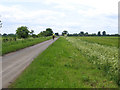
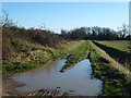
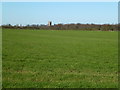
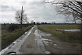
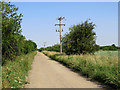
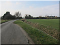
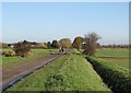
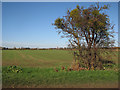
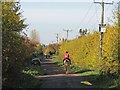
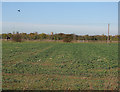
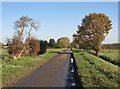
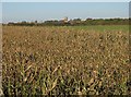
16 photos from this area
Area Information
Key information about the CB24 8RL including its size, population, and administrative classification.
- Area Type
- Postcode
- Area Size
- 2.2 km²
- Population
- 1525
- Population Density
- 56 people/km²
House Prices in CB24 8RL
15
Properties
£1,200,000
Average Sold Price
£1,200,000
Lowest Price
£1,200,000
Highest Price
Showing 15 properties
| Address | Type | Beds | Baths | Last Sale Price | Last Sale Date | |
|---|---|---|---|---|---|---|
| Foxlands, Long Drove, Cottenham, CB24 8RL | Bungalow | - | - | £1,200,000 | Apr 2022 | |
| High Drove Farmhouse, High Drove Farm, Long Drove, Cottenham, CB24 8RL | Land | - | - | - | - | |
| Land Used For Storage, Foxlands, Long Drove, Cottenham, CB24 8RL | warehouse | - | - | - | - | |
| Northerwood Farm, Long Drove, Cottenham, CB24 8RL | Farm | - | - | - | - | |
| Alboro Farm, Long Drove, Cottenham, CB24 8RL | Farm | - | - | - | - | |
| Hedgerow Farmhouse, Hedgerow Farm, Long Drove, Cottenham, CB24 8RL | Detached | - | - | - | - | |
| Rosemary Farm, Long Drove, Cottenham, CB24 8RL | Bungalow | - | - | - | - | |
| Journeys End Stables, Church Lane, Cottenham, CB24 8RL | Equestrian | - | - | - | - | |
| Bungalow, Arkley Nursery, Long Drove, Cottenham, CB24 8RL | Detached | - | - | - | - | |
| Alboro Farmhouse, Alboro Farm, Long Drove, Cottenham, CB24 8RL | Detached | - | - | - | - |
Page 1 of 2
Energy Efficiency in CB24 8RL
Amenities
Schools
| Rank | School | Type | Entry gender | Ages |
|---|
Explore more schools in this area
Go to Schools tabDemographics
Household Size
Two person
most common
Accommodation Type
Houses
most common
Tenure
86
majority
Ethnic Group
White
most common
Religion
N/A
most common
Household Composition
N/A
most common
Age
47
median
Adults (30-64 years)
most common
Household Deprivation
N/A
with no deprivation
NS-SEC
43
in Lower managerial occupations
Explore more demographic insights in this area
Go to Demographics tabPlanning
Planning Constraints
- Flood RiskPremium
- Ramsar Wetland SitesPremium
- Area of Outstanding Natural BeautyPremium
- Protected Nature ReservePremium
- Protected WoodlandPremium