Area Overview for CB23 7UE
Photos of CB23 7UE
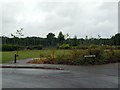
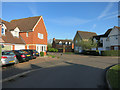
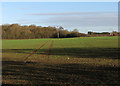
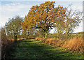
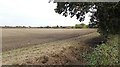
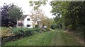
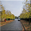
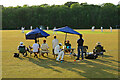
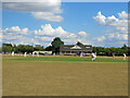
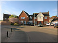
19 photos from this area
Area Information
Key information about the CB23 7UE including its size, population, and administrative classification.
- Area Type
- Postcode
- Area Size
- 2.5 hectares
- Population
- 2864
- Population Density
- 134 people/km²
House Prices in CB23 7UE
36
Properties
£277,159
Average Sold Price
£175,000
Lowest Price
£525,000
Highest Price
Showing 36 properties
| Address | Type | Beds | Baths | Last Sale Price | Last Sale Date | |
|---|---|---|---|---|---|---|
| 9 Grafton Drive, Highfields Caldecote, Caldecote, CB23 7UE | Detached | 4 | 3 | £299,950 | Jul 2023 | |
| 25 Grafton Drive, Highfields Caldecote, Caldecote, CB23 7UE | Terraced | 2 | 3 | £251,500 | Jan 2022 | |
| 1 Grafton Drive, Highfields Caldecote, Caldecote, CB23 7UE | Retail | 4 | 2 | £525,000 | Sep 2021 | |
| 11 Grafton Drive, Highfields Caldecote, Caldecote, CB23 7UE | Semi-detached | 3 | 2 | £280,000 | Mar 2021 | |
| 13 Grafton Drive, Highfields Caldecote, Caldecote, CB23 7UE | Semi-detached | 3 | 1 | £310,000 | Jan 2020 | |
| 24 Grafton Drive, Highfields Caldecote, Caldecote, CB23 7UE | Detached | 4 | 2 | £325,000 | Apr 2018 | |
| 12 Grafton Drive, Highfields Caldecote, Caldecote, CB23 7UE | Detached | 4 | 2 | £425,000 | Feb 2018 | |
| 4 Grafton Drive, Highfields Caldecote, Caldecote, CB23 7UE | house | 2 | - | £260,300 | Apr 2017 | |
| 39 Grafton Drive, Highfields Caldecote, Caldecote, CB23 7UE | Bungalow | 3 | - | £350,000 | Mar 2017 | |
| 2 Grafton Drive, Highfields Caldecote, Caldecote, CB23 7UE | Detached | 2 | 2 | £468,500 | Jan 2017 |
Page 1 of 4
Energy Efficiency in CB23 7UE
Amenities
Schools
| Rank | School | Type | Entry gender | Ages |
|---|
Explore more schools in this area
Go to Schools tabDemographics
Household Size
Family (3-5 people)
most common
Accommodation Type
Houses
most common
Tenure
79
majority
Ethnic Group
White
most common
Religion
N/A
most common
Household Composition
N/A
most common
Age
47
median
Adults (30-64 years)
most common
Household Deprivation
N/A
with no deprivation
NS-SEC
49
in Lower managerial occupations
Explore more demographic insights in this area
Go to Demographics tabPlanning
Planning Constraints
- Flood RiskPremium
- Ramsar Wetland SitesPremium
- Area of Outstanding Natural BeautyPremium
- Protected Nature ReservePremium
- Protected WoodlandPremium