Area Overview for CB23 7DB
Photos of CB23 7DB
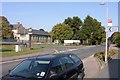
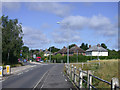
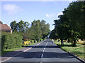
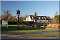
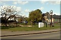
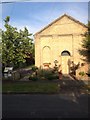
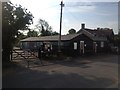
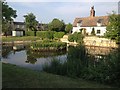
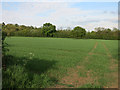
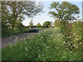
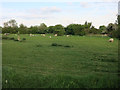
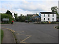
75 photos from this area
Area Information
Key information about the CB23 7DB including its size, population, and administrative classification.
- Area Type
- Postcode
- Area Size
- 6.0 hectares
- Population
- 2254
- Population Density
- 286 people/km²
House Prices in CB23 7DB
60
Properties
£235,356
Average Sold Price
£71,500
Lowest Price
£500,000
Highest Price
Showing 60 properties
| Address | Type | Beds | Baths | Last Sale Price | Last Sale Date | |
|---|---|---|---|---|---|---|
| 9 Hillfield Road, Comberton, CB23 7DB | Semi-detached | 3 | 1 | £375,000 | Nov 2025 | |
| 48 Hillfield Road, Comberton, CB23 7DB | house | - | - | £430,000 | Jul 2025 | |
| 12 Hillfield Road, Comberton, CB23 7DB | house | 3 | 1 | £367,500 | Jul 2025 | |
| 31 Hillfield Road, Comberton, CB23 7DB | Flat | 2 | - | £210,000 | Mar 2025 | |
| 2 Hillfield Road, Comberton, CB23 7DB | Semi-detached | 4 | 2 | £450,000 | Feb 2025 | |
| 56 Hillfield Road, Comberton, CB23 7DB | Terraced | 3 | 1 | £322,500 | Jan 2025 | |
| 15 Hillfield Road, Comberton, CB23 7DB | Terraced | 5 | 2 | £500,000 | Apr 2024 | |
| 6 Hillfield Road, Comberton, CB23 7DB | Semi-detached | 3 | 1 | £390,000 | Dec 2022 | |
| 25 Hillfield Road, Comberton, CB23 7DB | house | - | - | £310,000 | Aug 2021 | |
| 21 Hillfield Road, Comberton, CB23 7DB | house | - | - | £287,500 | Mar 2021 |
Page 1 of 6
Energy Efficiency in CB23 7DB
Amenities
Schools
| Rank | School | Type | Entry gender | Ages |
|---|
Explore more schools in this area
Go to Schools tabDemographics
Household Size
Two person
most common
Accommodation Type
Houses
most common
Tenure
78
majority
Ethnic Group
White
most common
Religion
N/A
most common
Household Composition
N/A
most common
Age
47
median
Adults (30-64 years)
most common
Household Deprivation
N/A
with no deprivation
NS-SEC
49
in Lower managerial occupations
Explore more demographic insights in this area
Go to Demographics tabPlanning
Planning Constraints
- Flood RiskPremium
- Ramsar Wetland SitesPremium
- Area of Outstanding Natural BeautyPremium
- Protected Nature ReservePremium
- Protected WoodlandPremium