Area Overview for CB23 6HN
Photos of CB23 6HN
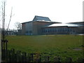
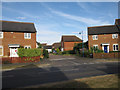
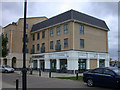
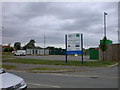
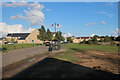
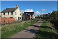
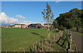
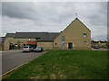
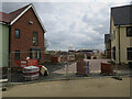
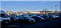
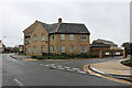
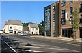
64 photos from this area
Area Information
Key information about the CB23 6HN including its size, population, and administrative classification.
- Area Type
- Postcode
- Area Size
- 3673 m²
- Population
- 2021
- Population Density
- 5305 people/km²
House Prices in CB23 6HN
10
Properties
£311,549
Average Sold Price
£180,500
Lowest Price
£465,000
Highest Price
Showing 10 properties
| Address | Type | Beds | Baths | Last Sale Price | Last Sale Date | |
|---|---|---|---|---|---|---|
| 9 Bramble Court, Cambourne, CB23 6HN | Detached | 3 | - | £355,000 | Mar 2021 | |
| 3 Bramble Court, Cambourne, CB23 6HN | Detached | 2 | - | £225,000 | Apr 2018 | |
| 8 Bramble Court, Cambourne, CB23 6HN | house | - | - | £465,000 | Jan 2018 | |
| 6 Bramble Court, Cambourne, CB23 6HN | Semi-detached | 5 | - | £395,000 | Jun 2016 | |
| 5 Bramble Court, Cambourne, CB23 6HN | Terraced | 2 | 2 | £230,000 | Mar 2015 | |
| 7 Bramble Court, Cambourne, CB23 6HN | Semi-detached | 2 | - | £180,500 | May 2010 | |
| 4 Bramble Court, Cambourne, CB23 6HN | house | - | - | £209,995 | Jul 2006 | |
| 11 Bramble Court, Cambourne, CB23 6HN | Detached | 4 | - | £284,995 | Jun 2006 | |
| 1 Bramble Court, Cambourne, CB23 6HN | Semi-detached | 6 | 4 | £370,000 | Mar 2006 | |
| 2 Bramble Court, Cambourne, CB23 6HN | Terraced | - | - | £399,995 | Aug 2005 |
Energy Efficiency in CB23 6HN
Amenities
Schools
| Rank | School | Type | Entry gender | Ages |
|---|
Explore more schools in this area
Go to Schools tabDemographics
Household Size
Family (3-5 people)
most common
Accommodation Type
Houses
most common
Tenure
66
majority
Ethnic Group
White
most common
Religion
N/A
most common
Household Composition
N/A
most common
Age
47
median
Adults (30-64 years)
most common
Household Deprivation
N/A
with no deprivation
NS-SEC
51
in Lower managerial occupations
Explore more demographic insights in this area
Go to Demographics tabPlanning
Planning Constraints
- Flood RiskPremium
- Ramsar Wetland SitesPremium
- Area of Outstanding Natural BeautyPremium
- Protected Nature ReservePremium
- Protected WoodlandPremium