Area Overview for CB23 4LY
Photos of CB23 4LY

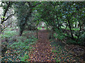
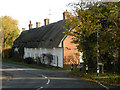
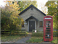

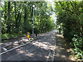
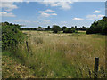
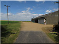
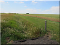
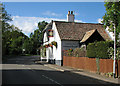
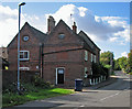
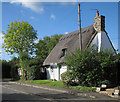
93 photos from this area
Area Information
Key information about the CB23 4LY including its size, population, and administrative classification.
- Area Type
- Postcode
- Area Size
- 42.0 hectares
- Population
- 1948
- Population Density
- 85 people/km²
House Prices in CB23 4LY
25
Properties
£473,318
Average Sold Price
£109,000
Lowest Price
£850,000
Highest Price
Showing 25 properties
| Address | Type | Beds | Baths | Last Sale Price | Last Sale Date | |
|---|---|---|---|---|---|---|
| Mermaid Spinney, High Street, Boxworth, CB23 4LY | Detached | 4 | 2 | £710,000 | Jul 2024 | |
| Cuckoo Pastures, High Street, Boxworth, CB23 4LY | Detached | 5 | 2 | £850,000 | Nov 2023 | |
| Rose Cottage, High Street, Boxworth, CB23 4LY | Detached | 4 | 2 | £627,500 | Aug 2020 | |
| Pages Farm, High Street, Boxworth, CB23 4LY | Detached | - | - | £480,000 | Jan 2020 | |
| Plashes, High Street, Boxworth, CB23 4LY | Detached | 3 | - | £450,000 | Aug 2015 | |
| The Keysmith, High Street, Boxworth, CB23 4LY | Detached | - | - | £330,000 | Aug 2011 | |
| View Spinney House, High Street, Boxworth, CB23 4LY | Detached | 4 | 3 | £510,000 | Mar 2010 | |
| Lavender Cottage, High Street, Boxworth, CB23 4LY | Detached | 4 | 2 | £435,000 | Sep 2008 | |
| Thorndale, High Street, Boxworth, CB23 4LY | Detached | - | - | £305,000 | Sep 2006 | |
| 4 High Street, Boxworth, CB23 4LY | Detached | - | - | £400,000 | Nov 2005 |
Page 1 of 3
Energy Efficiency in CB23 4LY
Amenities
Schools
| Rank | School | Type | Entry gender | Ages |
|---|
Explore more schools in this area
Go to Schools tabDemographics
Household Size
Two person
most common
Accommodation Type
Houses
most common
Tenure
73
majority
Ethnic Group
White
most common
Religion
N/A
most common
Household Composition
N/A
most common
Age
47
median
Adults (30-64 years)
most common
Household Deprivation
N/A
with no deprivation
NS-SEC
41
in Lower managerial occupations
Explore more demographic insights in this area
Go to Demographics tabPlanning
Planning Constraints
- Flood RiskPremium
- Ramsar Wetland SitesPremium
- Area of Outstanding Natural BeautyPremium
- Protected Nature ReservePremium
- Protected WoodlandPremium