Area Overview for CB23 2SP
Photos of CB23 2SP
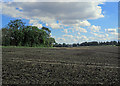
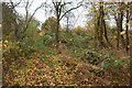
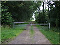
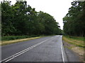
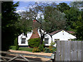
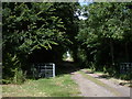
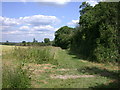
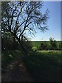
15 photos from this area
Area Information
Key information about the CB23 2SP including its size, population, and administrative classification.
- Area Type
- Postcode
- Area Size
- 20.4 hectares
- Population
- 2831
- Population Density
- 201 people/km²
House Prices in CB23 2SP
34
Properties
£334,900
Average Sold Price
£66,000
Lowest Price
£650,000
Highest Price
Showing 34 properties
| Address | Type | Beds | Baths | Last Sale Price | Last Sale Date | |
|---|---|---|---|---|---|---|
| 25 Riddy Lane, Bourn, CB23 2SP | house | - | - | £450,000 | Mar 2021 | |
| 44 Riddy Lane, Bourn, CB23 2SP | Semi-detached | 3 | 2 | £400,000 | May 2018 | |
| 19 Riddy Lane, Bourn, CB23 2SP | Semi-detached | 3 | - | £331,150 | Oct 2017 | |
| 21 Riddy Lane, Bourn, CB23 2SP | Semi-detached | 3 | - | £325,000 | Oct 2016 | |
| 28A Riddy Lane, Bourn, CB23 2SP | Detached | 4 | - | £650,000 | Jun 2016 | |
| 34 Riddy Lane, Bourn, CB23 2SP | Bungalow | - | - | £391,151 | Jul 2015 | |
| 40 Riddy Lane, Bourn, CB23 2SP | house | - | - | £500,000 | Jan 2010 | |
| 1 Riddy Lane, Bourn, CB23 2SP | Land | - | - | £217,500 | Nov 2004 | |
| 36 Riddy Lane, Bourn, CB23 2SP | Bungalow | - | - | £210,000 | Jul 2004 | |
| 28 Riddy Lane, Bourn, CB23 2SP | Detached | 4 | 2 | £288,000 | Apr 2002 |
Page 1 of 4
Energy Efficiency in CB23 2SP
Amenities
Schools
| Rank | School | Type | Entry gender | Ages |
|---|
Explore more schools in this area
Go to Schools tabDemographics
Household Size
Family (3-5 people)
most common
Accommodation Type
Houses
most common
Tenure
78
majority
Ethnic Group
White
most common
Religion
N/A
most common
Household Composition
N/A
most common
Age
47
median
Adults (30-64 years)
most common
Household Deprivation
N/A
with no deprivation
NS-SEC
53
in Lower managerial occupations
Explore more demographic insights in this area
Go to Demographics tabPlanning
Planning Constraints
- Flood RiskPremium
- Ramsar Wetland SitesPremium
- Area of Outstanding Natural BeautyPremium
- Protected Nature ReservePremium
- Protected WoodlandPremium