Area Overview for CB23 1NA
Photos of CB23 1NA
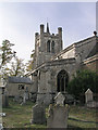
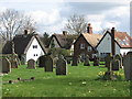
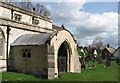
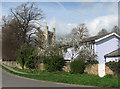
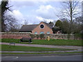
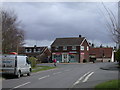
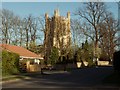
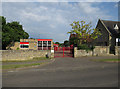
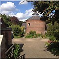
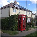
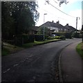
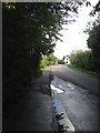
100 photos from this area
Area Information
Key information about the CB23 1NA including its size, population, and administrative classification.
- Area Type
- Postcode
- Area Size
- 3.6 hectares
- Population
- 2560
- Population Density
- 214 people/km²
House Prices in CB23 1NA
17
Properties
£310,600
Average Sold Price
£133,000
Lowest Price
£450,000
Highest Price
Showing 17 properties
| Address | Type | Beds | Baths | Last Sale Price | Last Sale Date | |
|---|---|---|---|---|---|---|
| 7 Sidney Gardens, Haslingfield, CB23 1NA | Detached | 2 | 1 | £435,000 | Dec 2024 | |
| 16 Sidney Gardens, Haslingfield, CB23 1NA | Detached | 4 | 2 | £450,000 | Feb 2019 | |
| 15 Sidney Gardens, Haslingfield, CB23 1NA | Semi-detached | 4 | 1 | £415,000 | Oct 2017 | |
| 12 Sidney Gardens, Haslingfield, CB23 1NA | house | 2 | 1 | £450,000 | May 2017 | |
| 17 Sidney Gardens, Haslingfield, CB23 1NA | Detached | 4 | 1 | £400,000 | Dec 2014 | |
| 4 Sidney Gardens, Haslingfield, CB23 1NA | house | - | - | £285,000 | Feb 2013 | |
| 11 Sidney Gardens, Haslingfield, CB23 1NA | Detached | - | - | £260,000 | Jul 2008 | |
| 1 Sidney Gardens, Haslingfield, CB23 1NA | house | 2 | 1 | £138,000 | Jun 2001 | |
| 9 Sidney Gardens, Haslingfield, CB23 1NA | Bungalow | - | - | £133,000 | Oct 2000 | |
| 8 Sidney Gardens, Haslingfield, CB23 1NA | Detached | - | - | £140,000 | Feb 2000 |
Page 1 of 2
Energy Efficiency in CB23 1NA
Amenities
Schools
| Rank | School | Type | Entry gender | Ages |
|---|
Explore more schools in this area
Go to Schools tabDemographics
Household Size
Family (3-5 people)
most common
Accommodation Type
Houses
most common
Tenure
70
majority
Ethnic Group
White
most common
Religion
N/A
most common
Household Composition
N/A
most common
Age
47
median
Adults (30-64 years)
most common
Household Deprivation
N/A
with no deprivation
NS-SEC
57
in Lower managerial occupations
Explore more demographic insights in this area
Go to Demographics tabPlanning
Planning Constraints
- Flood RiskPremium
- Ramsar Wetland SitesPremium
- Area of Outstanding Natural BeautyPremium
- Protected Nature ReservePremium
- Protected WoodlandPremium