Area Overview for CB22 7AD
Photos of CB22 7AD
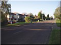
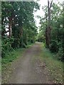
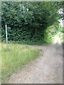
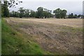
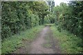
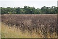
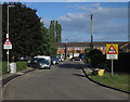
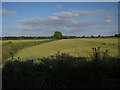
57 photos from this area
Area Information
Key information about the CB22 7AD including its size, population, and administrative classification.
- Area Type
- Postcode
- Area Size
- 7267 m²
- Population
- 1989
- Population Density
- 575 people/km²
House Prices in CB22 7AD
11
Properties
£970,500
Average Sold Price
£425,000
Lowest Price
£1,810,000
Highest Price
Showing 11 properties
| Address | Type | Beds | Baths | Last Sale Price | Last Sale Date | |
|---|---|---|---|---|---|---|
| The Lodge, 1 The Pastures, Harston, CB22 7AD | Detached | 3 | 2 | £720,000 | Dec 2025 | |
| Lark House, 7 The Pastures, Harston, CB22 7AD | house | - | - | £825,000 | Nov 2022 | |
| Ashbourne House, 9 The Pastures, Harston, CB22 7AD | Detached | 5 | 2 | £1,810,000 | Sep 2019 | |
| Edgerton House, 8 The Pastures, Harston, CB22 7AD | house | - | - | £1,748,000 | Jul 2019 | |
| Avocet House, 10 The Pastures, Harston, CB22 7AD | Detached | - | - | £760,000 | Mar 2017 | |
| Linnet House, 11 The Pastures, Harston, CB22 7AD | house | - | - | £897,500 | Mar 2017 | |
| Dotterel House, 6 The Pastures, Harston, CB22 7AD | house | - | - | £1,200,000 | Dec 2016 | |
| Curlew Cottages, 3 The Pastures, Harston, CB22 7AD | Semi-detached | 3 | 1 | £425,000 | Dec 2016 | |
| Dunlin House, 5 The Pastures, Harston, CB22 7AD | house | - | - | £1,350,000 | Dec 2016 | |
| 4 The Pastures, Harston, CB22 7AD | Semi-detached | 3 | 1 | £430,000 | Dec 2016 |
Page 1 of 2
Energy Efficiency in CB22 7AD
Amenities
Schools
| Rank | School | Type | Entry gender | Ages |
|---|
Explore more schools in this area
Go to Schools tabDemographics
Household Size
Family (3-5 people)
most common
Accommodation Type
Houses
most common
Tenure
75
majority
Ethnic Group
White
most common
Religion
N/A
most common
Household Composition
N/A
most common
Age
47
median
Adults (30-64 years)
most common
Household Deprivation
N/A
with no deprivation
NS-SEC
54
in Lower managerial occupations
Explore more demographic insights in this area
Go to Demographics tabPlanning
Planning Constraints
- Flood RiskPremium
- Ramsar Wetland SitesPremium
- Area of Outstanding Natural BeautyPremium
- Protected Nature ReservePremium
- Protected WoodlandPremium