Area Overview for CB22 5HP
Photos of CB22 5HP
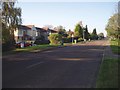
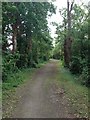
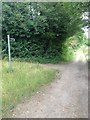
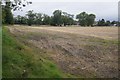
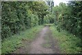
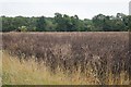
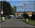
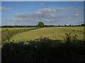
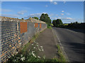
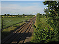
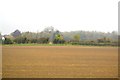
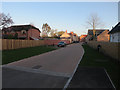
57 photos from this area
Area Information
Key information about the CB22 5HP including its size, population, and administrative classification.
- Area Type
- Postcode
- Area Size
- 24.8 hectares
- Population
- 1989
- Population Density
- 575 people/km²
House Prices in CB22 5HP
61
Properties
£334,679
Average Sold Price
£40,000
Lowest Price
£895,000
Highest Price
Showing 61 properties
| Address | Type | Beds | Baths | Last Sale Price | Last Sale Date | |
|---|---|---|---|---|---|---|
| 18 The Lane, Hauxton, CB22 5HP | Terraced | 2 | 1 | £391,350 | Nov 2024 | |
| 52 The Lane, Hauxton, CB22 5HP | Detached | 5 | 2 | £895,000 | May 2024 | |
| 44 The Lane, Hauxton, CB22 5HP | Semi-detached | 5 | 2 | £639,000 | Nov 2023 | |
| 41 The Lane, Hauxton, CB22 5HP | house | - | - | £450,000 | Oct 2023 | |
| 6 The Lane, Hauxton, CB22 5HP | Terraced | 2 | 1 | £400,500 | Oct 2023 | |
| 14 The Lane, Hauxton, CB22 5HP | house | - | - | £378,000 | Sep 2021 | |
| 36 The Lane, Hauxton, CB22 5HP | Bungalow | - | - | £570,000 | Jun 2021 | |
| 12 The Lane, Hauxton, CB22 5HP | Cottage | 2 | - | £380,000 | Jun 2021 | |
| 35 The Lane, Hauxton, CB22 5HP | Semi-detached | 2 | 1 | £340,000 | Oct 2019 | |
| 48 The Lane, Hauxton, CB22 5HP | Bungalow | 5 | - | £475,000 | Aug 2019 |
Page 1 of 7
Energy Efficiency in CB22 5HP
Amenities
Schools
| Rank | School | Type | Entry gender | Ages |
|---|
Explore more schools in this area
Go to Schools tabDemographics
Household Size
Family (3-5 people)
most common
Accommodation Type
Houses
most common
Tenure
75
majority
Ethnic Group
White
most common
Religion
N/A
most common
Household Composition
N/A
most common
Age
47
median
Adults (30-64 years)
most common
Household Deprivation
N/A
with no deprivation
NS-SEC
54
in Lower managerial occupations
Explore more demographic insights in this area
Go to Demographics tabPlanning
Planning Constraints
- Flood RiskPremium
- Ramsar Wetland SitesPremium
- Area of Outstanding Natural BeautyPremium
- Protected Nature ReservePremium
- Protected WoodlandPremium