Area Overview for CB22 5DX
Photos of CB22 5DX
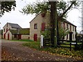
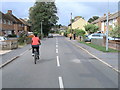
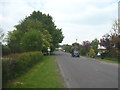
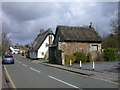
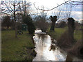
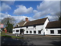
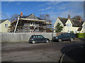
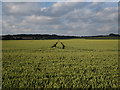
90 photos from this area
Area Information
Key information about the CB22 5DX including its size, population, and administrative classification.
- Area Type
- Postcode
- Area Size
- 1.5 hectares
- Population
- 1676
- Population Density
- 243 people/km²
House Prices in CB22 5DX
17
Properties
£528,191
Average Sold Price
£95,000
Lowest Price
£1,457,500
Highest Price
Showing 17 properties
| Address | Type | Beds | Baths | Last Sale Price | Last Sale Date | |
|---|---|---|---|---|---|---|
| 3 St Andrews Close, Stapleford, CB22 5DX | Detached | 4 | 4 | £1,457,500 | Aug 2023 | |
| 2 St Andrews Close, Stapleford, CB22 5DX | house | - | - | £727,500 | Dec 2021 | |
| 14 St Andrews Close, Stapleford, CB22 5DX | Detached | 4 | 2 | £830,000 | Jun 2021 | |
| 16 St Andrews Close, Stapleford, CB22 5DX | Detached | 3 | - | £607,155 | Jun 2016 | |
| 15 St Andrews Close, Stapleford, CB22 5DX | Detached | 3 | - | £450,000 | Apr 2014 | |
| 5 St Andrews Close, Stapleford, CB22 5DX | Detached | 4 | 2 | £439,000 | Aug 2013 | |
| 17 St Andrews Close, Stapleford, CB22 5DX | Detached | 2 | 1 | £562,000 | Feb 2008 | |
| 4 St Andrews Close, Stapleford, CB22 5DX | Detached | - | - | £305,000 | Aug 2005 | |
| 7 St Andrews Close, Stapleford, CB22 5DX | Detached | - | - | £207,000 | Oct 2001 | |
| 9 St Andrews Close, Stapleford, CB22 5DX | Bungalow | - | - | £129,950 | Aug 1997 |
Page 1 of 2
Energy Efficiency in CB22 5DX
Amenities
Schools
| Rank | School | Type | Entry gender | Ages |
|---|
Explore more schools in this area
Go to Schools tabDemographics
Household Size
Two person
most common
Accommodation Type
Houses
most common
Tenure
83
majority
Ethnic Group
White
most common
Religion
N/A
most common
Household Composition
N/A
most common
Age
47
median
Adults (30-64 years)
most common
Household Deprivation
N/A
with no deprivation
NS-SEC
57
in Lower managerial occupations
Explore more demographic insights in this area
Go to Demographics tabPlanning
Planning Constraints
- Flood RiskPremium
- Ramsar Wetland SitesPremium
- Area of Outstanding Natural BeautyPremium
- Protected Nature ReservePremium
- Protected WoodlandPremium