Area Overview for CB22 4NZ
Photos of CB22 4NZ
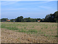
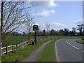
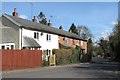
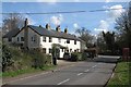
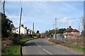
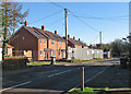
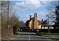
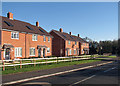
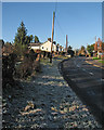
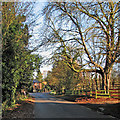
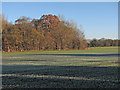
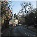
64 photos from this area
Area Information
Key information about the CB22 4NZ including its size, population, and administrative classification.
- Area Type
- Postcode
- Area Size
- 77.5 hectares
- Population
- 1237
- Population Density
- 396 people/km²
House Prices in CB22 4NZ
37
Properties
£502,134
Average Sold Price
£170,000
Lowest Price
£1,660,000
Highest Price
Showing 37 properties
| Address | Type | Beds | Baths | Last Sale Price | Last Sale Date | |
|---|---|---|---|---|---|---|
| 42 North Road, Whittlesford, CB22 4NZ | Terraced | 3 | 2 | £405,000 | Jul 2025 | |
| 27 North Road, Whittlesford, CB22 4NZ | Detached | 7 | 3 | £1,660,000 | Mar 2025 | |
| 11 North Road, Whittlesford, CB22 4NZ | Detached | 6 | - | £1,200,000 | Nov 2019 | |
| 47 North Road, Whittlesford, CB22 4NZ | Semi-detached | 2 | - | £500,000 | Jun 2014 | |
| 20 North Road, Whittlesford, CB22 4NZ | Detached | 5 | - | £492,500 | Oct 2012 | |
| 18 North Road, Whittlesford, CB22 4NZ | Semi-detached | 4 | 2 | £620,000 | Oct 2012 | |
| 29 North Road, Whittlesford, CB22 4NZ | house | 4 | - | £696,000 | Mar 2011 | |
| 9 North Road, Whittlesford, CB22 4NZ | house | - | - | £575,000 | Aug 2007 | |
| 46 North Road, Whittlesford, CB22 4NZ | Detached | - | - | £433,777 | Nov 2006 | |
| 22 North Road, Whittlesford, CB22 4NZ | Semi-detached | - | - | £380,000 | Oct 2006 |
Page 1 of 4
Energy Efficiency in CB22 4NZ
Amenities
Schools
| Rank | School | Type | Entry gender | Ages |
|---|
Explore more schools in this area
Go to Schools tabDemographics
Household Size
Two person
most common
Accommodation Type
Houses
most common
Tenure
73
majority
Ethnic Group
White
most common
Religion
N/A
most common
Household Composition
N/A
most common
Age
47
median
Adults (30-64 years)
most common
Household Deprivation
N/A
with no deprivation
NS-SEC
54
in Lower managerial occupations
Explore more demographic insights in this area
Go to Demographics tabPlanning
Planning Constraints
- Flood RiskPremium
- Ramsar Wetland SitesPremium
- Area of Outstanding Natural BeautyPremium
- Protected Nature ReservePremium
- Protected WoodlandPremium