Area Overview for CB21 5NX
Photos of CB21 5NX
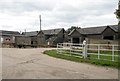
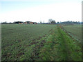
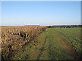
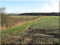
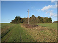
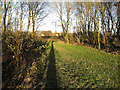
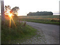
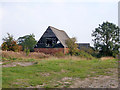
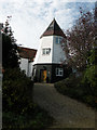
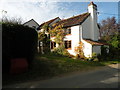
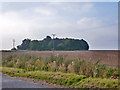
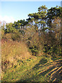
19 photos from this area
Area Information
Key information about the CB21 5NX including its size, population, and administrative classification.
- Area Type
- Postcode
- Area Size
- 47.9 hectares
- Population
- 1700
- Population Density
- 44 people/km²
House Prices in CB21 5NX
28
Properties
£393,538
Average Sold Price
£220,000
Lowest Price
£780,000
Highest Price
Showing 28 properties
| Address | Type | Beds | Baths | Last Sale Price | Last Sale Date | |
|---|---|---|---|---|---|---|
| 2 Chapel Road, Weston Colville, CB21 5NX | Bungalow | 2 | 1 | £230,000 | Aug 2022 | |
| Greenacres, Chapel Road, Weston Colville, CB21 5NX | Detached | 5 | 1 | £645,000 | Mar 2021 | |
| 1B Chapel Road, Weston Colville, CB21 5NX | Semi-detached | 4 | 1 | £285,000 | Mar 2020 | |
| 46 Chapel Road, Weston Colville, CB21 5NX | Detached | 3 | 1 | £385,000 | Jun 2019 | |
| Pennyacres, Chapel Road, Weston Colville, CB21 5NX | Detached | 6 | 4 | £780,000 | May 2019 | |
| Jubilee Farm, Chapel Road, Weston Colville, CB21 5NX | Detached | 5 | 4 | £726,000 | May 2018 | |
| 47-48 Chapel Road, Weston Colville, CB21 5NX | Cottage | 3 | 2 | £365,000 | Mar 2017 | |
| Shillings, Chapel Road, Weston Colville, CB21 5NX | Detached | 5 | 3 | £237,500 | Dec 2012 | |
| Ashleigh House, Chapel Road, Weston Colville, CB21 5NX | Detached | 3 | 2 | £302,500 | Sep 2012 | |
| Freshfields House, Chapel Road, Weston Colville, CB21 5NX | Detached | 4 | 2 | £367,500 | Jan 2012 |
Page 1 of 3
Energy Efficiency in CB21 5NX
Amenities
Schools
| Rank | School | Type | Entry gender | Ages |
|---|
Explore more schools in this area
Go to Schools tabDemographics
Household Size
Two person
most common
Accommodation Type
Houses
most common
Tenure
83
majority
Ethnic Group
White
most common
Religion
N/A
most common
Household Composition
N/A
most common
Age
47
median
Adults (30-64 years)
most common
Household Deprivation
N/A
with no deprivation
NS-SEC
50
in Lower managerial occupations
Explore more demographic insights in this area
Go to Demographics tabPlanning
Planning Constraints
- Flood RiskPremium
- Ramsar Wetland SitesPremium
- Area of Outstanding Natural BeautyPremium
- Protected Nature ReservePremium
- Protected WoodlandPremium