Area Overview for CB21 5JD
Photos of CB21 5JD
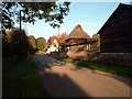
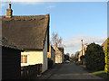
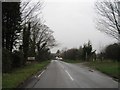
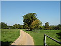

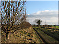
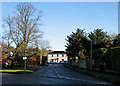
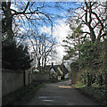
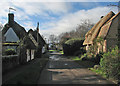
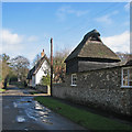
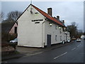
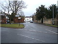
66 photos from this area
Area Information
Key information about the CB21 5JD including its size, population, and administrative classification.
- Area Type
- Postcode
- Area Size
- 13.1 hectares
- Population
- 1037
- Population Density
- 52 people/km²
House Prices in CB21 5JD
56
Properties
£455,951
Average Sold Price
£82,500
Lowest Price
£890,000
Highest Price
Showing 56 properties
| Address | Type | Beds | Baths | Last Sale Price | Last Sale Date | |
|---|---|---|---|---|---|---|
| 41 High Street, Great Wilbraham, CB21 5JD | Detached | 5 | 3 | £890,000 | Dec 2022 | |
| 49 High Street, Great Wilbraham, CB21 5JD | Detached | 4 | 2 | £735,000 | Dec 2022 | |
| The Old Tally Ho, 53 High Street, Great Wilbraham, CB21 5JD | house | 3 | 2 | £625,000 | Jul 2022 | |
| 71 High Street, Great Wilbraham, CB21 5JD | Retail | 4 | - | £580,000 | May 2022 | |
| 68 High Street, Great Wilbraham, CB21 5JD | Bungalow | - | - | £530,000 | Jan 2022 | |
| 58 High Street, Great Wilbraham, CB21 5JD | Semi-detached | 4 | 3 | £370,000 | Sep 2021 | |
| 12 High Street, Great Wilbraham, CB21 5JD | Semi-detached | 1 | 1 | £580,000 | Jun 2021 | |
| 20 High Street, Great Wilbraham, CB21 5JD | Semi-detached | - | - | £770,000 | Jun 2021 | |
| 29 High Street, Great Wilbraham, CB21 5JD | Detached | 2 | - | £410,000 | Dec 2020 | |
| 7 High Street, Great Wilbraham, CB21 5JD | house | 4 | 2 | £585,000 | Dec 2020 |
Page 1 of 6
Energy Efficiency in CB21 5JD
Amenities
Schools
| Rank | School | Type | Entry gender | Ages |
|---|
Explore more schools in this area
Go to Schools tabDemographics
Household Size
Two person
most common
Accommodation Type
Houses
most common
Tenure
70
majority
Ethnic Group
White
most common
Religion
N/A
most common
Household Composition
N/A
most common
Age
47
median
Adults (30-64 years)
most common
Household Deprivation
N/A
with no deprivation
NS-SEC
52
in Lower managerial occupations
Explore more demographic insights in this area
Go to Demographics tabPlanning
Planning Constraints
- Flood RiskPremium
- Ramsar Wetland SitesPremium
- Area of Outstanding Natural BeautyPremium
- Protected Nature ReservePremium
- Protected WoodlandPremium