Area Overview for CB21 5BY
Photos of CB21 5BY
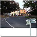
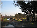
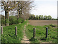
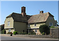
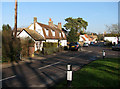
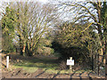
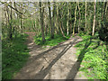
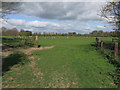
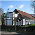


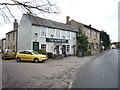
100 photos from this area
Area Information
Key information about the CB21 5BY including its size, population, and administrative classification.
- Area Type
- Postcode
- Area Size
- 3.0 hectares
- Population
- 1731
- Population Density
- 106 people/km²
House Prices in CB21 5BY
19
Properties
£545,192
Average Sold Price
£179,000
Lowest Price
£1,476,000
Highest Price
Showing 19 properties
| Address | Type | Beds | Baths | Last Sale Price | Last Sale Date | |
|---|---|---|---|---|---|---|
| 3 Impetts Lane, Fulbourn, CB21 5BY | Detached | 5 | 2 | £1,400,000 | Dec 2023 | |
| 26 Impetts Lane, Fulbourn, CB21 5BY | Bungalow | 2 | 2 | £1,476,000 | Mar 2022 | |
| 12 Impetts Lane, Fulbourn, CB21 5BY | Terraced | 3 | 1 | £315,000 | Jun 2021 | |
| 5 Impetts Lane, Fulbourn, CB21 5BY | house | - | - | £825,000 | Mar 2021 | |
| 6 Impetts Lane, Fulbourn, CB21 5BY | Semi-detached | 2 | 1 | £332,500 | Oct 2017 | |
| 20 Impetts Lane, Fulbourn, CB21 5BY | house | - | - | £550,000 | Nov 2015 | |
| 4 Impetts Lane, Fulbourn, CB21 5BY | house | 3 | - | £320,000 | Dec 2013 | |
| 1 Impetts Lane, Fulbourn, CB21 5BY | Bungalow | 3 | 1 | £450,000 | Jun 2012 | |
| 14 Impetts Lane, Fulbourn, CB21 5BY | house | 2 | - | £195,000 | Oct 2011 | |
| 8 Impetts Lane, Fulbourn, CB21 5BY | house | 2 | - | £179,000 | Oct 2010 |
Page 1 of 2
Energy Efficiency in CB21 5BY
Amenities
Schools
| Rank | School | Type | Entry gender | Ages |
|---|
Explore more schools in this area
Go to Schools tabDemographics
Household Size
One person
most common
Accommodation Type
Houses
most common
Tenure
82
majority
Ethnic Group
White
most common
Religion
N/A
most common
Household Composition
N/A
most common
Age
47
median
Adults (30-64 years)
most common
Household Deprivation
N/A
with no deprivation
NS-SEC
52
in Lower managerial occupations
Explore more demographic insights in this area
Go to Demographics tabPlanning
Planning Constraints
- Flood RiskPremium
- Ramsar Wetland SitesPremium
- Area of Outstanding Natural BeautyPremium
- Protected Nature ReservePremium
- Protected WoodlandPremium