Area Overview for CB21 4RY
Photos of CB21 4RY
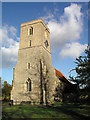
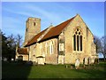
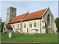
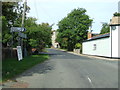
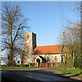
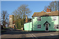
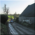
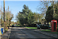
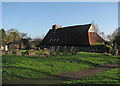
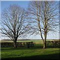
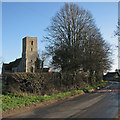
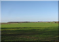
36 photos from this area
Area Information
Key information about the CB21 4RY including its size, population, and administrative classification.
- Area Type
- Postcode
- Area Size
- 33.0 hectares
- Population
- 1433
- Population Density
- 50 people/km²
House Prices in CB21 4RY
36
Properties
£395,190
Average Sold Price
£135,000
Lowest Price
£725,000
Highest Price
Showing 36 properties
| Address | Type | Beds | Baths | Last Sale Price | Last Sale Date | |
|---|---|---|---|---|---|---|
| 12 High Street, West Wickham, CB21 4RY | Detached | 4 | 3 | £405,000 | Dec 2024 | |
| 16 High Street, West Wickham, CB21 4RY | house | - | - | £460,000 | Oct 2022 | |
| 29 High Street, West Wickham, CB21 4RY | Detached | - | - | £550,000 | Jul 2020 | |
| 9A High Street, West Wickham, CB21 4RY | Detached | 3 | 1 | £456,000 | Oct 2019 | |
| 49 High Street, West Wickham, CB21 4RY | Semi-detached | 3 | 2 | £484,114 | Apr 2019 | |
| 51 High Street, West Wickham, CB21 4RY | Cottage | 3 | - | £410,000 | Sep 2014 | |
| 23 High Street, West Wickham, CB21 4RY | Detached | 4 | - | £500,000 | Jul 2014 | |
| 20 High Street, West Wickham, CB21 4RY | Detached | 4 | 2 | £400,000 | Jun 2012 | |
| 19 High Street, West Wickham, CB21 4RY | house | 3 | - | £370,000 | Jan 2012 | |
| 22 High Street, West Wickham, CB21 4RY | house | - | - | £725,000 | Jan 2010 |
Page 1 of 4
Energy Efficiency in CB21 4RY
Amenities
Schools
| Rank | School | Type | Entry gender | Ages |
|---|
Explore more schools in this area
Go to Schools tabDemographics
Household Size
Two person
most common
Accommodation Type
Houses
most common
Tenure
70
majority
Ethnic Group
White
most common
Religion
N/A
most common
Household Composition
N/A
most common
Age
47
median
Adults (30-64 years)
most common
Household Deprivation
N/A
with no deprivation
NS-SEC
44
in Lower managerial occupations
Explore more demographic insights in this area
Go to Demographics tabPlanning
Planning Constraints
- Flood RiskPremium
- Ramsar Wetland SitesPremium
- Area of Outstanding Natural BeautyPremium
- Protected Nature ReservePremium
- Protected WoodlandPremium