Area Overview for CB21 4DZ
Photos of CB21 4DZ
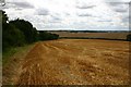
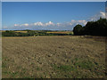
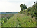
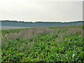
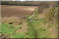
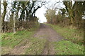
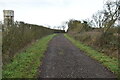
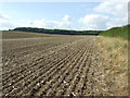
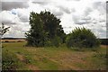
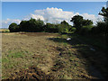
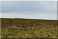
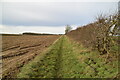
25 photos from this area
Area Information
Key information about the CB21 4DZ including its size, population, and administrative classification.
- Area Type
- Postcode
- Area Size
- 1.7 km²
- Population
- 1433
- Population Density
- 50 people/km²
House Prices in CB21 4DZ
56
Properties
£317,444
Average Sold Price
£52,150
Lowest Price
£876,543
Highest Price
Showing 56 properties
| Address | Type | Beds | Baths | Last Sale Price | Last Sale Date | |
|---|---|---|---|---|---|---|
| 34 West Wickham Road, Balsham, CB21 4DZ | Cottage | 3 | 3 | £430,000 | Mar 2025 | |
| 29 West Wickham Road, Balsham, CB21 4DZ | Bungalow | 2 | 1 | £220,000 | Feb 2024 | |
| 29A West Wickham Road, Balsham, CB21 4DZ | Terraced | 1 | 1 | £200,000 | Nov 2023 | |
| 3 West Wickham Road, Balsham, CB21 4DZ | Cottage | 2 | 1 | £380,000 | Feb 2023 | |
| 22 West Wickham Road, Balsham, CB21 4DZ | Bungalow | 3 | 1 | £440,000 | Oct 2022 | |
| The Orchard, Balsham Road, West Wickham, CB21 4DZ | Bungalow | 4 | 2 | £876,543 | Jan 2022 | |
| 40 West Wickham Road, Balsham, CB21 4DZ | Detached | 3 | 2 | £480,000 | Mar 2021 | |
| 39 West Wickham Road, Balsham, CB21 4DZ | Semi-detached | 4 | 2 | £595,000 | Oct 2020 | |
| 38 West Wickham Road, Balsham, CB21 4DZ | Semi-detached | 2 | 1 | £300,000 | Jul 2017 | |
| 11 West Wickham Road, Balsham, CB21 4DZ | Semi-detached | 4 | - | £390,000 | Oct 2016 |
Page 1 of 6
Energy Efficiency in CB21 4DZ
Amenities
Schools
| Rank | School | Type | Entry gender | Ages |
|---|
Explore more schools in this area
Go to Schools tabDemographics
Household Size
Two person
most common
Accommodation Type
Houses
most common
Tenure
70
majority
Ethnic Group
White
most common
Religion
N/A
most common
Household Composition
N/A
most common
Age
47
median
Adults (30-64 years)
most common
Household Deprivation
N/A
with no deprivation
NS-SEC
44
in Lower managerial occupations
Explore more demographic insights in this area
Go to Demographics tabPlanning
Planning Constraints
- Flood RiskPremium
- Ramsar Wetland SitesPremium
- Area of Outstanding Natural BeautyPremium
- Protected Nature ReservePremium
- Protected WoodlandPremium