Area Overview for CB11 4JP
Photos of CB11 4JP
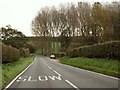
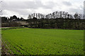
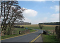
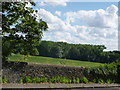
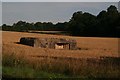
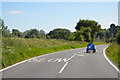
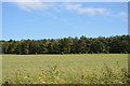
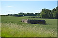
30 photos from this area
Area Information
Key information about the CB11 4JP including its size, population, and administrative classification.
- Area Type
- Postcode
- Area Size
- 19.1 hectares
- Population
- 1696
- Population Density
- 54 people/km²
House Prices in CB11 4JP
9
Properties
£563,450
Average Sold Price
£235,000
Lowest Price
£810,000
Highest Price
Showing 9 properties
| Address | Type | Beds | Baths | Last Sale Price | Last Sale Date | |
|---|---|---|---|---|---|---|
| Old Mill House, Mill Lane, Wendens Ambo, CB11 4JP | Detached | - | - | £785,000 | Oct 2020 | |
| Riverside, Mill Lane, Wendens Ambo, CB11 4JP | Detached | 5 | - | £810,000 | Jun 2015 | |
| Cambourn, Mill Lane, Wendens Ambo, CB11 4JP | house | - | - | £423,800 | Apr 2006 | |
| Meadows, Mill Lane, Wendens Ambo, CB11 4JP | Detached | 5 | 3 | £235,000 | Nov 1998 | |
| Barn At, Old Mill House, Mill Lane, Wendens Ambo, CB11 4JP | Detached | - | - | - | - | |
| Tennis 55M From Old Mill House, Mill Lane 88M From Mill Road, Mill Lane, Wendens Ambo, CB11 4JP | Leisure | - | - | - | - | |
| Second Caravan At, Old Mill House, Mill Lane, Wendens Ambo, CB11 4JP | Mobile Home | - | - | - | - | |
| Caravan At, Old Mill House, Mill Lane, Wendens Ambo, CB11 4JP | Mobile Home | - | - | - | - | |
| River View, Mill Lane, Wendens Ambo, CB11 4JP | house | - | - | - | - |
Energy Efficiency in CB11 4JP
Amenities
Schools
| Rank | School | Type | Entry gender | Ages |
|---|
Explore more schools in this area
Go to Schools tabDemographics
Household Size
Two person
most common
Accommodation Type
Houses
most common
Tenure
74
majority
Ethnic Group
White
most common
Religion
N/A
most common
Household Composition
N/A
most common
Age
47
median
Adults (30-64 years)
most common
Household Deprivation
N/A
with no deprivation
NS-SEC
51
in Lower managerial occupations
Explore more demographic insights in this area
Go to Demographics tabPlanning
Planning Constraints
- Flood RiskPremium
- Ramsar Wetland SitesPremium
- Area of Outstanding Natural BeautyPremium
- Protected Nature ReservePremium
- Protected WoodlandPremium