Area Overview for CB10 2SA
Photos of CB10 2SA
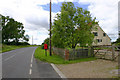
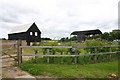
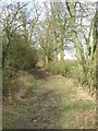

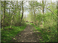
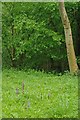
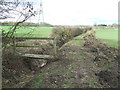
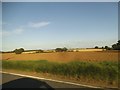
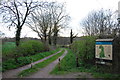
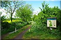
19 photos from this area
Area Information
Key information about the CB10 2SA including its size, population, and administrative classification.
- Area Type
- Postcode
- Area Size
- 1.8 km²
- Population
- 1939
- Population Density
- 39 people/km²
House Prices in CB10 2SA
10
Properties
£763,429
Average Sold Price
£310,000
Lowest Price
£1,600,000
Highest Price
Showing 10 properties
| Address | Type | Beds | Baths | Last Sale Price | Last Sale Date | |
|---|---|---|---|---|---|---|
| Little Clarks, Thaxted Road, Little Sampford, CB10 2SA | Detached | 6 | 3 | £1,600,000 | Nov 2024 | |
| Howletts Farm, Thaxted Road, Little Sampford, CB10 2SA | house | - | - | £765,000 | Aug 2023 | |
| Spriggs Farm, Thaxted Road, Little Sampford, CB10 2SA | Detached | - | - | £600,000 | Oct 2018 | |
| Moat End Cottage, Thaxted Road, Little Sampford, CB10 2SA | Detached | - | - | £550,000 | Aug 2017 | |
| Coppins, Thaxted Road, Little Sampford, CB10 2SA | Detached | 4 | 2 | £870,000 | Jan 2017 | |
| Silver Birches, Thaxted Road, Little Sampford, CB10 2SA | Detached | - | - | £310,000 | Jul 2014 | |
| Tile Hall, Thaxted Road, Little Sampford, CB10 2SA | Detached | 5 | 3 | £649,000 | Jul 2012 | |
| Annexe At, Tile Hall, Thaxted Road, Little Sampford, CB10 2SA | Flat | 6 | - | - | - | |
| The Stack Yard, Thaxted Road, Little Sampford, CB10 2SA | house | - | - | - | - | |
| Tile Hall Farm, Thaxted Road, Little Sampford, CB10 2SA | Detached | - | - | - | - |
Energy Efficiency in CB10 2SA
Amenities
Schools
| Rank | School | Type | Entry gender | Ages |
|---|
Explore more schools in this area
Go to Schools tabDemographics
Household Size
Two person
most common
Accommodation Type
Houses
most common
Tenure
79
majority
Ethnic Group
White
most common
Religion
N/A
most common
Household Composition
N/A
most common
Age
47
median
Adults (30-64 years)
most common
Household Deprivation
N/A
with no deprivation
NS-SEC
45
in Lower managerial occupations
Explore more demographic insights in this area
Go to Demographics tabPlanning
Planning Constraints
- Flood RiskPremium
- Ramsar Wetland SitesPremium
- Area of Outstanding Natural BeautyPremium
- Protected Nature ReservePremium
- Protected WoodlandPremium