Area Overview for CB10 2LE
Photos of CB10 2LE
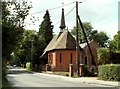
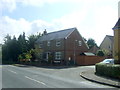
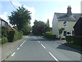
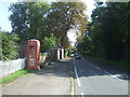
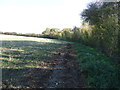
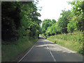
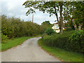
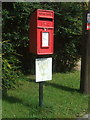
8 photos from this area
Area Information
Key information about the CB10 2LE including its size, population, and administrative classification.
- Area Type
- Postcode
- Area Size
- 66.0 hectares
- Population
- 1749
- Population Density
- 55 people/km²
House Prices in CB10 2LE
14
Properties
£739,400
Average Sold Price
£177,000
Lowest Price
£1,165,000
Highest Price
Showing 14 properties
| Address | Type | Beds | Baths | Last Sale Price | Last Sale Date | |
|---|---|---|---|---|---|---|
| Franklands, 2A Walden Road, Sewards End, CB10 2LE | house | - | - | £615,000 | Mar 2021 | |
| Birches, 7A Walden Road, Sewards End, CB10 2LE | Detached | 5 | 3 | £1,165,000 | Feb 2020 | |
| Leonards, 5B Walden Road, Sewards End, CB10 2LE | Detached | 5 | 3 | £1,100,000 | Aug 2019 | |
| Spruce Lodge, 5A Walden Road, Sewards End, CB10 2LE | Detached | 5 | 3 | £640,000 | Dec 2012 | |
| Bardfield, 4 Walden Road, Sewards End, CB10 2LE | Detached | - | - | £177,000 | Mar 1998 | |
| High Trees House, 7 Walden Road, Sewards End, CB10 2LE | Detached | 4 | 4 | - | - | |
| Timbers, 5 Walden Road, Sewards End, CB10 2LE | Bungalow | 3 | 1 | - | - | |
| Pounce Hall, 3 Walden Road, Sewards End, CB10 2LE | Land | - | - | - | - | |
| Spruce Lodge, Walden Road, Sewards End, CB10 2LE | Detached | - | - | - | - | |
| Leonards, Walden Road, Sewards End, CB10 2LE | undefined | - | - | - | - |
Page 1 of 2
Energy Efficiency in CB10 2LE
Amenities
Schools
| Rank | School | Type | Entry gender | Ages |
|---|
Explore more schools in this area
Go to Schools tabDemographics
Household Size
Two person
most common
Accommodation Type
Houses
most common
Tenure
79
majority
Ethnic Group
White
most common
Religion
N/A
most common
Household Composition
N/A
most common
Age
47
median
Adults (30-64 years)
most common
Household Deprivation
N/A
with no deprivation
NS-SEC
47
in Lower managerial occupations
Explore more demographic insights in this area
Go to Demographics tabPlanning
Planning Constraints
- Flood RiskPremium
- Ramsar Wetland SitesPremium
- Area of Outstanding Natural BeautyPremium
- Protected Nature ReservePremium
- Protected WoodlandPremium