Area Overview for CB1 9BJ
Photos of CB1 9BJ
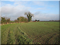
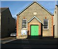
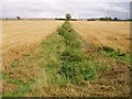
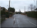
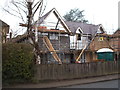
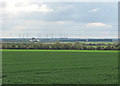
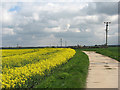
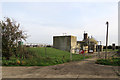
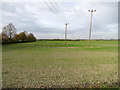
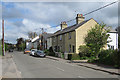
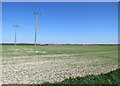
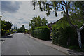
28 photos from this area
Area Information
Key information about the CB1 9BJ including its size, population, and administrative classification.
- Area Type
- Postcode
- Area Size
- 32.6 hectares
- Population
- 1581
- Population Density
- 341 people/km²
House Prices in CB1 9BJ
31
Properties
£447,003
Average Sold Price
£83,500
Lowest Price
£1,020,000
Highest Price
Showing 31 properties
| Address | Type | Beds | Baths | Last Sale Price | Last Sale Date | |
|---|---|---|---|---|---|---|
| 87 High Street, Teversham, CB1 9BJ | Semi-detached | 3 | 1 | £410,000 | Dec 2024 | |
| 75 High Street, Teversham, CB1 9BJ | Detached | 4 | 2 | £680,000 | Jan 2024 | |
| 77 High Street, Teversham, CB1 9BJ | Detached | 3 | 1 | £575,000 | Jul 2023 | |
| 70 High Street, Teversham, CB1 9BJ | Detached | 5 | 4 | £1,020,000 | May 2023 | |
| 105 High Street, Teversham, CB1 9BJ | house | - | - | £450,050 | Feb 2022 | |
| 58 High Street, Teversham, CB1 9BJ | Detached | 4 | - | £765,000 | Feb 2022 | |
| 93 High Street, Teversham, CB1 9BJ | house | - | - | £350,000 | Nov 2021 | |
| 56 High Street, Teversham, CB1 9BJ | house | - | - | £800,000 | Mar 2021 | |
| 99 High Street, Teversham, CB1 9BJ | Semi-detached | 3 | 1 | £273,500 | Nov 2019 | |
| 101 High Street, Teversham, CB1 9BJ | house | - | - | £315,000 | Nov 2017 |
Page 1 of 4
Energy Efficiency in CB1 9BJ
Amenities
Schools
| Rank | School | Type | Entry gender | Ages |
|---|
Explore more schools in this area
Go to Schools tabDemographics
Household Size
Family (3-5 people)
most common
Accommodation Type
Houses
most common
Tenure
55
majority
Ethnic Group
White
most common
Religion
N/A
most common
Household Composition
N/A
most common
Age
47
median
Adults (30-64 years)
most common
Household Deprivation
N/A
with no deprivation
NS-SEC
42
in Lower managerial occupations
Explore more demographic insights in this area
Go to Demographics tabPlanning
Planning Constraints
- Flood RiskPremium
- Ramsar Wetland SitesPremium
- Area of Outstanding Natural BeautyPremium
- Protected Nature ReservePremium
- Protected WoodlandPremium