Area Overview for CB1 3QN
Photos of CB1 3QN
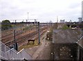
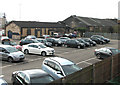
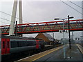

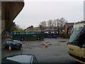
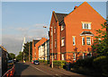

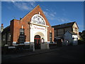
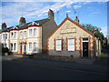
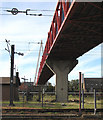
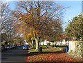

100 photos from this area
Area Information
Key information about the CB1 3QN including its size, population, and administrative classification.
- Area Type
- Postcode
- Area Size
- 2.6 hectares
- Population
- 1680
- Population Density
- 4864 people/km²
House Prices in CB1 3QN
53
Properties
£271,596
Average Sold Price
£70,000
Lowest Price
£455,000
Highest Price
Showing 53 properties
| Address | Type | Beds | Baths | Last Sale Price | Last Sale Date | |
|---|---|---|---|---|---|---|
| 118 Rustat Road, Cambridge, CB1 3QN | Maisonette | 2 | 2 | £455,000 | Apr 2024 | |
| 68 Rustat Road, Cambridge, CB1 3QN | Maisonette | 2 | 1 | £390,000 | Mar 2024 | |
| 116 Rustat Road, Cambridge, CB1 3QN | Maisonette | 2 | 1 | £427,000 | Feb 2024 | |
| 52A Rustat Road, Cambridge, CB1 3QN | Flat | - | - | £317,000 | Mar 2021 | |
| 108 Rustat Road, Cambridge, CB1 3QN | Semi-detached | 2 | 1 | £385,000 | Nov 2020 | |
| 46A Rustat Road, Cambridge, CB1 3QN | Maisonette | 2 | 1 | £340,000 | Nov 2020 | |
| 58 Rustat Road, Cambridge, CB1 3QN | Maisonette | - | - | £332,000 | Feb 2020 | |
| 68A Rustat Road, Cambridge, CB1 3QN | Flat | 3 | 2 | £408,000 | Oct 2019 | |
| 106 Rustat Road, Cambridge, CB1 3QN | house | 2 | 1 | £399,500 | Oct 2018 | |
| 104 Rustat Road, Cambridge, CB1 3QN | house | 1 | 1 | £385,000 | Aug 2018 |
Page 1 of 6
Energy Efficiency in CB1 3QN
Amenities
Schools
| Rank | School | Type | Entry gender | Ages |
|---|
Explore more schools in this area
Go to Schools tabDemographics
Household Size
Two person
most common
Accommodation Type
Flats
most common
Tenure
30
majority
Ethnic Group
White
most common
Religion
N/A
most common
Household Composition
N/A
most common
Age
47
median
Adults (30-64 years)
most common
Household Deprivation
N/A
with no deprivation
NS-SEC
55
in Lower managerial occupations
Explore more demographic insights in this area
Go to Demographics tabPlanning
Planning Constraints
- Flood RiskPremium
- Ramsar Wetland SitesPremium
- Area of Outstanding Natural BeautyPremium
- Protected Nature ReservePremium
- Protected WoodlandPremium