Area Overview for Castor
Photos of Castor
Area Information
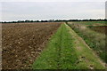
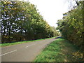
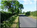
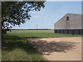
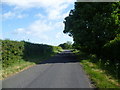
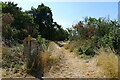
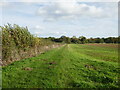
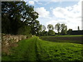
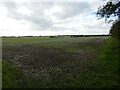
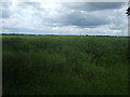
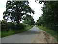
Castor is a civil parish situated in England with a total land area of 13.7 km². This relatively compact footprint defines the scale of daily life for residents, offering a defined neighbourhood where the boundary between private and public space is clear. The area functions as a self-contained community where the pace of life moves steadily, free from the unpredictability of major urban centres. Living in Castor means engaging with an environment where the physical limits of the parish are well understood. The size of the parish influences the quietness of the streets and the proximity of residents to one another. You can explore the entire landscape within a short drive, ensuring that access to local amenities remains simple. The area stands out for its stable character and its manageable size, which appeals to those seeking a settled location. There are no chaotic intersections or vast distances to traverse; instead, you find a locale where the distances are measured in minutes rather than hours. This focus on a smaller footprint creates a distinct rhythm to life here, distinguishing Castor from the sprawling suburbs found elsewhere in the country.
- Area Type
- Parish
- Area Size
- 13.7 km²
- Population
- Not available
- Population Density
- Not available
Demographics
The community in Castor reflects a settled demographic profile characterised by a median age of 70 years. This figure indicates that the population skews significantly towards older adults, suggesting a village centre supported by those who have moved there for retirement. This age structure shapes the local services and social activities available within the parish. You will find an environment where stability and long-term residence are common, rather than the transient nature typical of younger family hubs. The most common age range is recorded as the total category, highlighting the broad spread of the older population across the parish. Seven out of every ten households in Castor are owner-occupied, a rate of 70% that underscores the stability of the population. High home ownership levels suggest that many families have put down roots and are unlikely to uproot. This creates a cohesive community where neighbours know each other well and local businesses support permanent residents. The accommodation types and household composition align with this older demographic, presenting a consistent picture of domestic stability throughout the area.
Household Size
Accommodation Type
Tenure
Ethnic Group
Religion
Household Composition
Age
Household Deprivation
NS-SEC
Explore more demographic insights in this area
Go to Demographics tabPlanning
Planning Constraints
- Flood RiskPremium
- Ramsar Wetland SitesPremium
- Area of Outstanding Natural BeautyPremium
- Protected Nature ReservePremium
- Protected WoodlandPremium
- Crime RiskPremium