Area Overview for Carlton & Whitton Ward
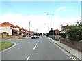
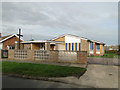
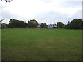
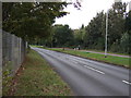
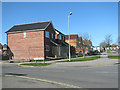
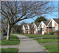
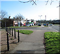
Photos of Carlton & Whitton Ward

Area Information
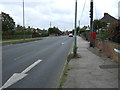
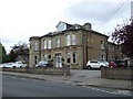
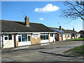
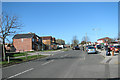
Living in Carlton & Whitton Ward offers a distinctly rural lifestyle within the East Suffolk district. This district borough unitary ward covers an area of just 3.3 km², which feels intimate compared to larger urban districts. Despite its small size, the ward accommodates a population of 1377 people, though wider census data indicates a larger community profile with approximately 10,696 residents living in the broader Carlton Colville and Oulton Broad vicinity. The location sits near Lowestoft, providing residents with proximity to significant coastal towns while maintaining a quieter residential environment. Example coordinates near 52.472534, 1.698773 mark key points within the area, close to the wider ward boundaries. You can expect a community lifestyle centred around local necessities rather than high-density urban living. The ward encompasses areas around Carlton Colville and Oulton Broad, offering easy access to specific landmarks without the congestion found in larger city centres. This small footprint creates a tight-knit environment where daily life revolves around local amenities and natural surroundings.
- Area Type
- District Borough Unitary Ward
- Area Size
- 3.3 km²
- Population
- 1377
- Population Density
- 412 people/km²
Demographics
The community profile within Carlton & Whitton Ward reflects a mature population structure. The median age stands at 70 years, indicating a significant presence of older residents. Census data for the wider area reveals that 27% of the population falls within the 60 to 79 age range, a figure that aligns with the high median age reported for the ward. This demographic skew suggests a settled neighbourhood where families with young children may find fewer age-matched peers locally. Home ownership is the defining characteristic of this community, with 73% of households fully owning their dwellings. Only 27% of the population rents, creating a stable environment for long-term residents. Furthermore, 47% of the population reports having no religious affiliation, suggesting a secular community where traditional church attendance may be less common than in other parts of the East of England. The wider demographic data shows that 30% of households consist of people living alone, which often mirrors the needs of the elderly demographic prevalent here. Overall, the ward serves as a retirement-friendly area or a retirement location for those who have moved from larger urban centres.
Household Size
Accommodation Type
Tenure
Ethnic Group
Religion
Household Composition
Age
Household Deprivation
NS-SEC
Explore more demographic insights in this area
Go to Demographics tabPlanning
Planning Constraints
- Flood RiskPremium
- Ramsar Wetland SitesPremium
- Area of Outstanding Natural BeautyPremium
- Protected Nature ReservePremium
- Protected WoodlandPremium
- Crime RiskPremium