Area Overview for Burgh St Peter
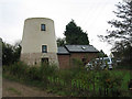
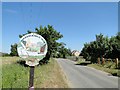
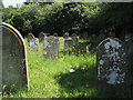
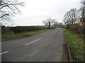
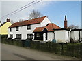
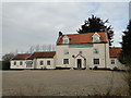
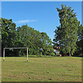
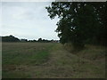
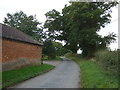
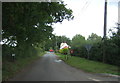
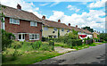
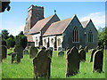
Photos of Burgh St Peter
Area Information
Burgh St Peter is a compact built-up area in England, covering 42.3 hectares. Its population, though not explicitly stated, is reflected in its demographic profile, with a median age of 70, suggesting a community skewed towards older residents. The area’s proximity to multiple railway stations, including Entrance2 and Somerleyton, offers convenient access to regional transport networks. Nearby, retail hubs like Morrisons, Lidl, and Tesco in Beccles provide daily essentials, while Beccles Airport and Reedham Ferry North add to its connectivity. Despite its small size, Burgh St Peter balances practicality with accessibility, making it a viable choice for those prioritising ease of movement and proximity to services. The low crime risk score of 86 indicates a relatively safe environment, which, combined with its established amenities, could appeal to buyers seeking a stable, low-maintenance lifestyle. However, the broadband score of 22 suggests limited digital infrastructure, which may impact those reliant on high-speed internet for work or leisure. For residents, the area offers a blend of simplicity and functionality, tailored to those who value convenience over urban vibrancy.
- Area Type
- Built Up Area 250
- Area Size
- 42.3 hectares
- Population
- Not available
- Population Density
- Not available
Residents of Burgh St Peter have access to essential retail services, including Morrisons, Lidl, and Tesco in Beccles, which provide a range of groceries and household goods. The presence of multiple railway stations, such as Entrance2 and Somerleyton, ensures regular commuter links to nearby towns. For travel beyond the local area, Beccles Airport offers regional flight connections, while Reedham Ferry North provides access to water-based transport. The compact nature of the area means these amenities are within practical reach, supporting a lifestyle that balances local convenience with broader mobility. While the data does not detail parks or leisure facilities, the availability of retail and transport options suggests a focus on functionality. The mix of retail, rail, and air connectivity positions Burgh St Peter as a practical choice for those prioritising accessibility over expansive recreational spaces.
Amenities
Schools
| Rank | School | Type | Entry gender | Ages |
|---|
Explore more schools in this area
Go to Schools tabDemographics
Burgh St Peter has a median age of 70, indicating a predominantly older population. The most common age range is listed as "Age: Total," suggesting a community where the elderly form a significant proportion. Home ownership stands at 80%, reflecting a strong presence of owner-occupied properties, which may contribute to a sense of stability. Household composition and accommodation types are not detailed, but the high home ownership rate implies a settled demographic with fewer transient residents. The data does not specify ethnic diversity or religious distribution, so these aspects remain unexplored. The absence of detailed information on deprivation or socioeconomic status means the area’s quality of life cannot be fully assessed from this data alone. However, the low crime risk score of 86 suggests a generally secure environment, which may align with the characteristics of an older, less densely populated community.
Household Size
Accommodation Type
Tenure
Ethnic Group
Religion
Household Composition
Age
Household Deprivation
NS-SEC
Explore more demographic insights in this area
Go to Demographics tabPlanning
Planning Constraints
- Crime RiskPremium