Area Overview for Bures Hamlet
Photos of Bures Hamlet
Area Information
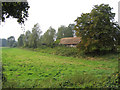
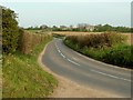
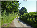
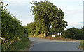
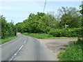
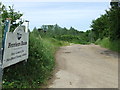
Bures Hamlet is a civil parish in Essex, forming the Essex half of the village that straddles the border with Suffolk. The parish covers an area of 7.5 square kilometres, positioning it solidly within the populated landscape of eastern England rather than deep countryside. It forms part of the village bisected by the River Stour, with coordinates placing it at 51.969929, 0.771791 under the postcode CO8 5HY. The history of the settlement dates back significantly, with records from the Domesday Book noting it as "Bura" or "Bure" with a church and 18 acres of free land. A medieval chapel to St Stephen exists here, originally dating from 1218, which served as a barn following the Reformation before being restored in the 1930s. Daily life revolves around this established setting where the parish church of St Mary the Virgin stands prominently on the adjacent Suffolk side of the river. You might visit the restored Chapel Barn or explore the area associated with the historical coronation of King Edmund the Martyr. Living in Bures Hamlet means appreciating a community grounded in centuries of rural English history, situated near the parish church that serves both the Essex parish and the neighbouring village of Bures St Mary. This blend of historical depth and geographical position defines the character of the district for anyone contemplating homes in Bures Hamlet.
- Area Type
- Parish
- Area Size
- 7.5 km²
- Population
- Not available
- Population Density
- Not available
Demographics
The social makeup of Bures Hamlet reflects its long-established rural nature, with a median age of 70 years. This figure indicates a community with a significant older population, suggesting many residents have chosen to retire in this parish or have resided there for many years. When considering schools near Bures Hamlet, the demographic data implies that the local educational offerings must cater largely to the needs of families with younger children living close to the parish or for students attending institutions outside the immediate medieval parish boundaries. There is no specific data on the breakdown of total ethnic groups or religion within the provided records, but the age structure remains the clearest demographic indicator available for this settlement. Home ownership represents the primary tenure type for residents, as 80% of households own their properties outright or with a mortgage. This high rate of ownership distinguishes Bures Hamlet as a stable community where the majority of people have a long-term stake in their local environment rather than renting annually. The household composition data notes a 'total' classification without further partial breakdowns, but the dominance of owner occupation shapes the social fabric. For those assessing the area, this statistic highlights a neighbourhood where residents are likely embedded in the community rather than transient. The age profile and ownership figures together paint a picture of a traditional, settled parish rather than a growth zone attracting young professionals or students.
Household Size
Accommodation Type
Tenure
Ethnic Group
Religion
Household Composition
Age
Household Deprivation
NS-SEC
Explore more demographic insights in this area
Go to Demographics tabPlanning
Planning Constraints
- Flood RiskPremium
- Ramsar Wetland SitesPremium
- Area of Outstanding Natural BeautyPremium
- Protected Nature ReservePremium
- Protected WoodlandPremium
- Crime RiskPremium