Area Overview for Brooke Ward
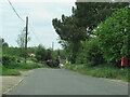
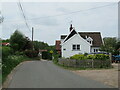
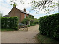
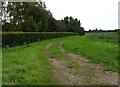
Photos of Brooke Ward
Area Information
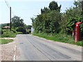
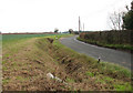
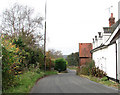
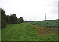
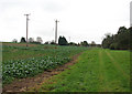
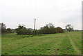
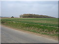
Brooke Ward is a distinct district within the borough of England, covering an total area of 38.4 km². This location represents a community defined by its established character and large proportion of residents. You will find a neighbourhood where daily life revolves around a mature, settled population. The sheer scale of the ward, spanning over 38 square kilometres, provides ample space for residents while maintaining a clear local identity. Living in Brooke Ward means engaging with an area that has its own rhythm and history. Prospective buyers should understand that this is a place where generations have put down roots. The physical boundaries of the ward encompass diverse pockets of housing and local amenities. There are no grappling major highways or urban planning constraints like the Area of Outstanding Natural Beauty that might limit development in other regions. Instead, the landscape is marked by specific planning considerations regarding protected woodland. This context shapes your potential view and the future outlook for properties there. You can expect a residential environment where the community fabric is intact and the area size supports a sense of locality. It is a straightforward choice for those seeking a home in a well-defined district without the complexity of national planning designations.
- Area Type
- District Borough Unitary Ward
- Area Size
- 38.4 km²
- Population
- Not available
- Population Density
- Not available
Demographics
The community in Brooke Ward is characterised by a very specific age profile. The median age stands at 70, which indicates a population dominated by older residents. Most age groups are represented, yet the central tendency points clearly towards an older demographic. You should expect a quiet neighbourhood where families with young children are less common than retirees or older adults. Home ownership is the primary mode of housing tenure here, with 79% of residents owning their homes outright or with a mortgage. This high ownership rate suggests a community of people who have chosen this location for the long term. There are few transient residents, which often translates to a more stable street scene. The household composition reflects this stability, with total households configured for older adults or retired couples. Accommodation types generally align with this need, favouring lower density living. You will find that social diversity metrics show the predominant ethnic group, though the overwhelming demographic factor is age. Crime risk assessments confirm a safe environment with a safety score of 93 out of 100, reinforcing the appeal for those seeking a peaceful retirement or a permanent future in a low-risk setting.
Household Size
Accommodation Type
Tenure
Ethnic Group
Religion
Household Composition
Age
Household Deprivation
NS-SEC
Explore more demographic insights in this area
Go to Demographics tabPlanning
Planning Constraints
- Flood RiskPremium
- Ramsar Wetland SitesPremium
- Area of Outstanding Natural BeautyPremium
- Protected Nature ReservePremium
- Protected WoodlandPremium
- Crime RiskPremium