Area Overview for Brisley
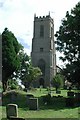
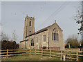
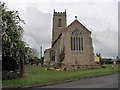
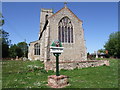
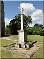
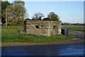
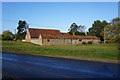
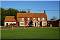
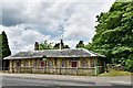
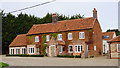
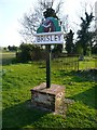
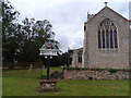
Photos of Brisley
Area Information
Living in Brisley offers a settled experience within a small civil parish covering 4.9 square kilometres. This compact area presents a quiet lifestyle for those seeking a distinct residential setting away from larger urban centres. You will find yourself in a location defined by specific geographical boundaries rather than commercial bustle. The modest size of the parish means daily life is characterised by proximity between homes and immediate surroundings. Residents navigate a walkable area where local needs are met within the parish limits. The environment supports a traditional way of living where neighbours are neighbours rather than distant strangers. Your time here is likely centred on local routines rather than long commutes across regional borders. This setting provides a clear alternative to city living with a defined scope of what lies beyond your front door. You can expect a straightforward existence without the complexity of managing travel to scattered amenities. The physical layout of the land supports a community focused on local interaction and established patterns of daily life.
- Area Type
- Parish
- Area Size
- 4.9 km²
- Population
- Not available
- Population Density
- Not available
Demographics
The community in Brisley reflects an older demographic profile with a median age standing at 70 years. This figure indicates that the population consists primarily of older residents who have settled in the area over many decades. You will encounter a neighbourhood where age is the dominant factor influencing lifestyle and local activities. Housing decisions here often stem from long-term residency rather than transient living situations. The age structure suggests a stable environment where residents have deep roots in the location. Household composition follows this trend with families and single-person homes typical of an elderly population. The demographic makeup creates a quiet atmosphere where social interactions centre on shared history rather than youthful energy. An area with these characteristics offers a predictable routine for those comfortable with slower-paced living. The population dynamics do not suggest rapid change or significant influx of younger households. Instead, the living environment remains consistent with an established, mature community where traditions hold significant weight.
Household Size
Accommodation Type
Tenure
Ethnic Group
Religion
Household Composition
Age
Household Deprivation
NS-SEC
Explore more demographic insights in this area
Go to Demographics tabPlanning
Planning Constraints
- Flood RiskLocked
- Ramsar Wetland SitesLocked
- Area of Outstanding Natural BeautyLocked
- Protected Nature ReserveLocked
- Protected WoodlandLocked
- Crime RiskLocked