Area Overview for Bredfield
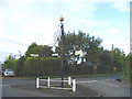
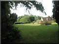
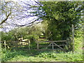
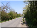
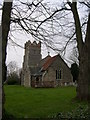
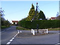
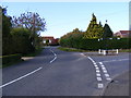
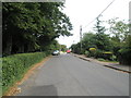
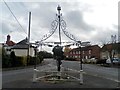
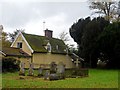
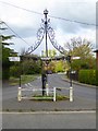
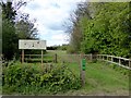
Photos of Bredfield
Area Information
Living in Bredfield offers a compact, well-defined environment within 31 hectares of built-up space. This area, situated in England, is characterised by its mature demographic profile, with a median age of 70, suggesting a community that leans towards older residents. The high home ownership rate of 82% indicates a stable, long-term presence of residents, many of whom may have lived in the area for decades. Bredfield’s proximity to key amenities, including five retail outlets such as Morrisons, Waitrose, and Spar, ensures daily conveniences are within reach. Nearby rail connections, including Melton and Woodbridge Railway Stations, provide easy access to broader regional networks. The area’s relatively small size means it is likely to feel cohesive, with local services and transport options clustered closely. While Bredfield does not offer the density of a major city, it provides a quiet, functional living environment tailored to those prioritising ease of access over urban vibrancy.
- Area Type
- Built Up Area 250
- Area Size
- 31.0 hectares
- Population
- Not available
- Population Density
- Not available
Bredfield’s residents have access to a range of nearby amenities, including five retail outlets such as Morrisons, Waitrose, and Spar, ensuring daily shopping needs are met without the need to travel far. The presence of multiple railway stations, including Melton and Woodbridge, provides easy access to broader transport networks, facilitating both local and regional travel. While the area does not feature extensive parks or leisure facilities in the data, the proximity to retail and rail services suggests a focus on practicality over expansive recreational spaces. The shops and stations contribute to a convenient, low-maintenance lifestyle, ideal for those prioritising accessibility over sprawling amenities. The character of Bredfield is defined by its functional, community-oriented services, where everyday tasks can be accomplished within a short walk or drive.
Amenities
Schools
| Rank | School | Type | Entry gender | Ages |
|---|
Explore more schools in this area
Go to Schools tabDemographics
Bredfield’s population is predominantly older, with a median age of 70, reflecting a community where the majority of residents fall into the total age range category. This suggests a demographic skewed towards retirees or long-term residents. Home ownership is exceptionally high at 82%, indicating that most households are owner-occupied rather than renting. The data does not specify household composition or accommodation types, but the overall figures imply a stable, settled population. The lack of detailed breakdowns on ethnicity or religion means the area’s diversity remains unquantified, though the figures provided do not suggest significant deprivation. For residents, this translates to a community with strong ties to property, where the majority of homes are likely to be family-owned or long-term investments. The age profile may influence local services, with healthcare and leisure facilities potentially tailored to older adults.
Household Size
Accommodation Type
Tenure
Ethnic Group
Religion
Household Composition
Age
Household Deprivation
NS-SEC
Explore more demographic insights in this area
Go to Demographics tabPlanning
Planning Constraints
- Crime RiskPremium