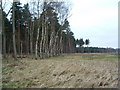
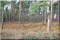
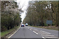
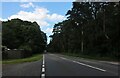
Area Overview for Brandon West Ward
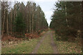
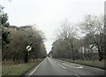
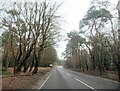
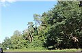
Photos of Brandon West Ward
Area Information
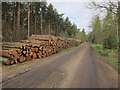
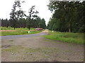
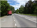
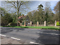
Brandon West Ward is a settled district within Cambridgeshire, covering an area of 31.7 square kilometres. You will find that life here moves at a considered pace, defined by stability rather than rapid change. The community is well established, with a significant portion of residents having long-term ties to the neighbourhood. This area offers a resident-focused environment where daily routines are shaped rather than dictated by transient trends. When you consider living in Brandon West Ward, you are entering a space defined by its quiet resilience and local character. The ward provides a consistent backdrop for family life, appealing to those who value predictability in their surroundings. You can expect a neighbourhood where the landscape and social fabric remain recognisable and secure. Those seeking homes in Brandon West Ward will find a setting that prioritises long-term habitability over fleeting developments. The area functions as a reliable home base, supported by stable infrastructure and a strong sense of local continuity.
- Area Type
- District Borough Unitary Ward
- Area Size
- 31.7 km²
- Population
- Not available
- Population Density
- Not available
Demographics
The community in Brandon West Ward reflects a population with significant senior presence. Median age statistics for the ward indicate a figure of 70 years, highlighting a mature demographic profile. This age distribution suggests a neighbourhood formed by long-term residents and retirees rather than new arrivals. Sixty-three per cent of households in the area report owning their homes, indicating high levels of financial stability and security within the local community. You will encounter a population where many people have invested their lives in Brandon West Ward specifically. The household composition mirrors these tenure rates, with owner-occupiers forming the majority of domestic structures across the 31.7 square kilometre district. Religious and ethnic diversity data are not provided in the available records, so descriptions of the community focus on age and tenure. The area remains a predominantly owner-led sector, creating an environment where residents often have a strong stake in local maintenance and stability. This tenure model influences the character of local interactions, fostering a neighbourhood where property matters deeply to the people living there.
Household Size
Accommodation Type
Tenure
Ethnic Group
Religion
Household Composition
Age
Household Deprivation
NS-SEC
Explore more demographic insights in this area
Go to Demographics tabPlanning
Planning Constraints
- Flood RiskPremium
- Ramsar Wetland SitesPremium
- Area of Outstanding Natural BeautyPremium
- Protected Nature ReservePremium
- Protected WoodlandPremium
- Crime RiskPremium