Area Overview for Bixley Ward
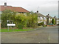
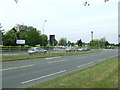
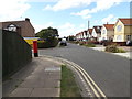
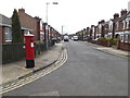
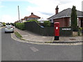
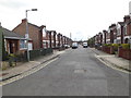
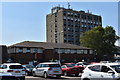
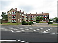
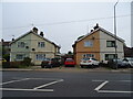
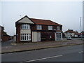
Photos of Bixley Ward
Area Information
Bixley Ward is a district unit located in the north-east of Ipswich, Suffolk. It covers a small geographical area of 2.4 km² and is represented by three councillors on Ipswich Borough Council. While specific historical details or notable local landmarks are not currently mapped for this specific ward boundary, it functions as a distinct political and residential unit within the broader city. The coordinates place the ward centrally within this northern sector. Living in Bixley Ward means being situated in a compact section of Ipswich where local governance is directly tied to these specific boundaries. Prospective residents should note that this ward is separate from Bixley, Norfolk, despite sharing a name. The area is defined by its administrative structure and its position within the city's northern edge. Daily life here is shaped by the ward's integration into Ipswich's wider infrastructure rather than by isolated rural features. Understanding the ward's boundaries is essential for those researching specific council services or local government representation.
- Area Type
- District Borough Unitary Ward
- Area Size
- 2.4 km²
- Population
- Not available
- Population Density
- Not available
Demographics
The community in Bixley Ward is characterised by a predominantly older population. The median age for residents is 70 years old, indicating a demographic skew towards retirees or older age groups. This suggests the area houses families with grown children or couples in retirement rather than young professionals moving into the district. Home ownership is the prevailing mode of living, with 80% of households owning their property outright or with a mortgage. High ownership rates typically signal a stable, settled community where residents are likely to have lived in the area for many years. Other demographic metrics such as household composition, predominant ethnic groups, religion, and specific age breakdowns beyond the median are not currently detailed in the available records. This lack of granular data means you cannot yet assess the diversity of family types or religious communities within the ward. However, the high ownership figure remains a definitive fact describing the social fabric of Bixley Ward today.
Household Size
Accommodation Type
Tenure
Ethnic Group
Religion
Household Composition
Age
Household Deprivation
NS-SEC
Explore more demographic insights in this area
Go to Demographics tabPlanning
Planning Constraints
- Flood RiskPremium
- Ramsar Wetland SitesPremium
- Area of Outstanding Natural BeautyPremium
- Protected Nature ReservePremium
- Protected WoodlandPremium
- Crime RiskPremium