Area Overview for Belstead
Photos of Belstead
Area Information
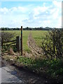
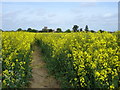
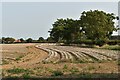
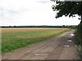
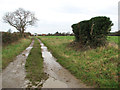
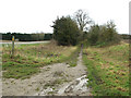
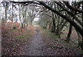
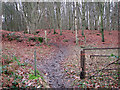
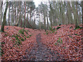
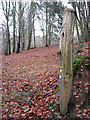
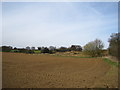
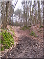
Living in Belstead offers a settled life within a compact civil parish that spans just 3.1 km² along the border of Essex and Suffolk. This small geographic footprint means distances between your home and local amenities are short, yet the area maintains a distinct rural character. You will find a community where daily rhythms move at a slower pace compared to larger towns, appealing to those seeking a quiet retreat without complete isolation. The sheer size of the parish suggests a low-density environment where the landscape likely features open fields and leafy lanes rather than high-density urban sprawl. Your routine here involves navigating a neighbourhood defined by its boundaries as a specific administrative unit. Because the area is so small, you might interact with the same neighbours frequently, fostering a tight-knit local circle. This setting is not for those wanting the bustle of a city centre, but it provides a stable foundation for families, retirees, or remote workers who value space over proximity to major employers. The civil parish designation also means that local council decisions directly impact your immediate surroundings, giving residents a clear voice in how their specific patch of England develops.
- Area Type
- Parish
- Area Size
- 3.1 km²
- Population
- Not available
- Population Density
- Not available
Demographics
The community profile of Belstead indicates a village primarily populated by older residents. Data confirms the median age across the area is 70, making this a retirement-focused or senior-led neighbourhood. You are more likely to meet pensioners in the shops than young families or single professionals. This age structure shapes the local pace and the types of services you might see nearby, such as those catering to healthcare or leisure needs for those with more free time. Home ownership stands high at 79%, reflecting the stability many long-term residents have achieved over decades. This high rate of ownership suggests that most people live in their own properties rather than renting monthly, which often correlates with lower monthly outgoings but higher mortgage responsibilities for those purchasing new stock. While specific details regarding ethnic diversity and religious composition are not detailed in current records, the dominant demographic focus remains heavily weighted toward the elderly population. If you are considering Belstead, you should expect a mature environment where the social fabric is woven around a shared era of life.
Household Size
Accommodation Type
Tenure
Ethnic Group
Religion
Household Composition
Age
Household Deprivation
NS-SEC
Explore more demographic insights in this area
Go to Demographics tabPlanning
Planning Constraints
- Flood RiskLocked
- Ramsar Wetland SitesLocked
- Area of Outstanding Natural BeautyLocked
- Protected Nature ReserveLocked
- Protected WoodlandLocked
- Crime RiskLocked