Area Overview for Beech Hill Ward
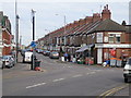
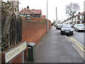
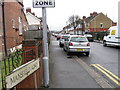
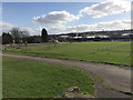
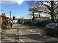
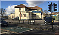
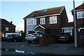
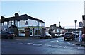
Photos of Beech Hill Ward
Area Information
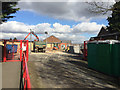
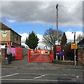
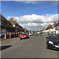
Living in Beech Hill Ward offers a distinct experience within England, defined by its compact footprint and specific community composition. You are considering an area that spans just 1.4 km², which creates a tightly knit environment for its 2,121 residents. This small geographical size means the ward is highly concentrated, resulting in a population density of 1,473 people per square kilometre. Such density suggests a neighbourhood where daily interactions are frequent and the local character is strongly established. The area is functionally a district borough unitary ward, indicating its administrative standing within the broader local government structure. For those interested in homes in Beech Hill Ward, the scale is intimate; there is no sprawling infrastructure here. Instead, life revolves around the immediate surroundings of these 1.4 km². The high population density compared to wider rural averages implies lively streets and active local services, yet it avoids the congestion typical of major cities. You will find a community where proximity is key, as the majority of your neighbours are located within walking distance of one another.
- Area Type
- District Borough Unitary Ward
- Area Size
- 1.4 km²
- Population
- 2121
- Population Density
- 1473 people/km²
Demographics
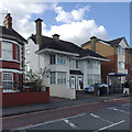
The community in Beech Hill Ward is distinguished by a significant demographic shift towards older residents. The median age stands at 70 years, which is markedly higher than the national average for the United Kingdom. This age profile indicates a neighbourhood where retirees or older adults form the backbone of the population. The data confirms that the most common age range is broad, though the median suggests a sustained presence of those over the age of 65. This shift shapes the local atmosphere, likely influencing the types of services and amenities you would encounter as you move to Beech Hill Ward. You should expect a quieter pace compared to areas with younger family clusters, as the dynamic centres on the needs and lifestyles of an ageing population. With only 2,121 people total, the social fabric is small, but the age concentration is profound. Understanding this profile is crucial for anyone evaluating schools near Beech Hill Ward, as the local demand will primarily reflect educational needs for older students, such as secondary schools or adult education centres, rather than primary cohorts.
Household Size
Accommodation Type
Tenure
Ethnic Group
Religion
Household Composition
Age
Household Deprivation
NS-SEC
Explore more demographic insights in this area
Go to Demographics tabPlanning
Planning Constraints
- Flood RiskPremium
- Ramsar Wetland SitesPremium
- Area of Outstanding Natural BeautyPremium
- Protected Nature ReservePremium
- Protected WoodlandPremium
- Crime RiskPremium