Area Overview for Bedford
Photos of Bedford
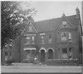
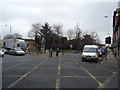
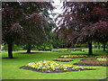
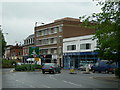
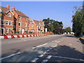
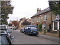
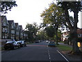
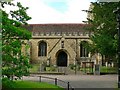
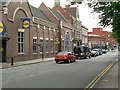
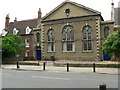
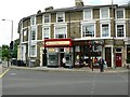
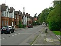
86 photos from this area
Area Information
Key information about the Bedford including its size, population, and administrative classification.
- Area Type
- District/Borough
- Area Size
- 21.9 km²
- Population
- 34644
- Population Density
- 1579 people/km²
Demographics
Household Size
total
most common
Accommodation Type
total
most common
Tenure
57
majority
Ethnic Group
total
most common
Religion
total
most common
Household Composition
total
most common
Age
70
median
Age: Total
most common
Household Deprivation
N/A
with no deprivation
NS-SEC
32
in Lower managerial occupations
Explore more demographic insights in this area
Go to Demographics tabPlanning
Planning Constraints
- Crime RiskPremium