Area Overview for Badersfield
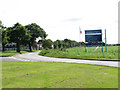
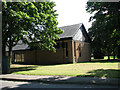
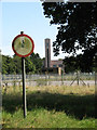
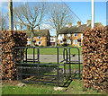
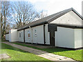
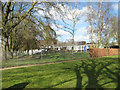
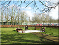
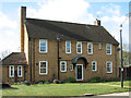
Photos of Badersfield
Area Information
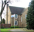
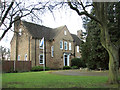
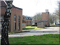
Badersfield is a built-up area spanning 75.8 hectares, nestled in England. Its compact size makes it a tight-knit community, where daily life is shaped by proximity to essential services and transport links. The area’s median age of 70 suggests a population skewed towards older residents, which may influence the pace of life and local amenities. Despite its modest size, Badersfield offers practical access to retail, education, and rail networks. Residents benefit from nearby schools, including The Douglas Bader School, and several railway stations within reach. The area’s safety score of 79 indicates a low crime risk, reinforcing its appeal as a secure place to live. While not a sprawling suburb, Badersfield’s blend of residential and commuter infrastructure makes it a viable option for those seeking a quieter, well-connected location. Its proximity to major retail outlets like Tesco Norwich and rail hubs such as North Walsham Railway Station ensures convenience for everyday needs. For buyers, the balance of safety, accessibility, and community character could make Badersfield a compelling choice.
- Area Type
- Built Up Area 250
- Area Size
- 75.8 hectares
- Population
- Not available
- Population Density
- Not available
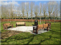
Living in Badersfield grants access to a range of amenities within practical reach. Retail options include Morrisons Daily, M&S Aylsham BP, and Tesco Norwich, ensuring grocery and everyday shopping needs are met. The area’s rail network, with stations like Worstead and North Walsham, connects residents to broader transport routes, while metro stops at Wroxham and Aylsham provide additional mobility. Though the data does not specify parks or leisure facilities, the presence of multiple retail and transport hubs suggests a focus on convenience over expansive recreational spaces. The mix of retail and transport options reflects a community designed for practicality, where daily errands and travel are prioritised. For those valuing accessibility over sprawling green spaces, Badersfield’s amenities offer a functional, if compact, lifestyle.
Amenities
Schools
Badersfield is served by several educational institutions, including The Douglas Bader School, a primary school based at RAF Coltishall, and the Douglas Bader Centre, which appears to offer specialist education. UET Pathfinder Academy adds further diversity to the local school landscape. While no Ofsted ratings are provided, the presence of a primary school suggests the area caters to families with younger children. The Douglas Bader School’s association with RAF Coltishall may indicate a focus on military or vocational education, though specifics are not detailed. For parents, the availability of multiple school types offers options, though the absence of secondary schools in the immediate vicinity could necessitate travel for older students. The mix of institutions reflects a community where education is prioritised, though the exact quality and accessibility remain unquantified.
| Rank | School | Type | Entry gender | Ages |
|---|
Explore more schools in this area
Go to Schools tabDemographics
The population of Badersfield has a median age of 70, reflecting a community predominantly composed of older individuals. Home ownership in the area stands at 68%, suggesting a mix of owner-occupied properties and rental stock. The data does not specify household composition or diversity, but the age profile indicates a demographic that may prioritise stability and established living arrangements. With no detailed breakdown of accommodation types, it is unclear whether the housing stock leans towards family homes, flats, or other formats. The absence of specific information on ethnic groups or religious affiliations means the area’s cultural diversity remains unquantified. However, the low crime risk score of 79 implies a relatively safe environment, which may align with the preferences of older residents. For those considering Badersfield, the demographic profile suggests a community that values security and familiarity over rapid change.
Household Size
Accommodation Type
Tenure
Ethnic Group
Religion
Household Composition
Age
Household Deprivation
NS-SEC
Explore more demographic insights in this area
Go to Demographics tabPlanning
Planning Constraints
- Crime RiskPremium