Area Overview for Attleborough Queens & Besthorpe Ward
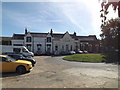
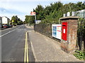
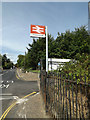
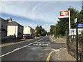
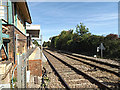
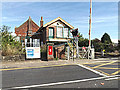
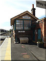
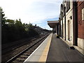
Photos of Attleborough Queens & Besthorpe Ward
Area Information
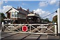
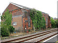
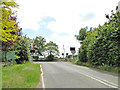
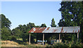
Living in Attleborough Queens & Besthorpe Ward offers a distinctly quiet experience within the Breckland District Council area. You will find yourself settled in an electoral ward that spans approximately 23.5 square kilometres of Norfolk. The ward encompasses specific parts of the Attleborough civil parish, covering both Queens North and Queens South wards, alongside the independent Besthorpe civil parish. This geographical spread defines the daily rhythm of life, distancing residents from the immediate rush of larger urban centres while maintaining access to local village life. The setting is rural yet connected, providing a stable foundation for families and individuals seeking permanence. Your view from here likely includes open countryside and established communities rather than high-density living. The ward sits firmly in the Eastern Region of England, serving as a distinct neighbourhood with clear boundaries. Because the area is designated as an electoral ward for parish elections, local governance is structured around these specific civil parishes. You are part of a locality that values its rural character, reinforced by the presence of protected greenspaces that dot the landscape. This environment suits those who prefer a paced lifestyle over the intensity of city living. The 23.5 km² footprint ensures that while you are surrounded by nature, the community remains accessible across the parish wards.
- Area Type
- District Borough Unitary Ward
- Area Size
- 23.5 km²
- Population
- Not available
- Population Density
- Not available
Demographics
The community in Attleborough Queens & Besthorpe Ward is defined by a significant shift towards retirement living. The median age in this ward is 70, creating a demographic profile that stands in contrast to many other parts of the country. This statistic indicates that the most common age range for residents falls into the senior population category. You are joining an area where the majority of households are occupied by older adults. This age distribution shapes local services, social events, and community interactions to cater primarily to those past the working age or approaching that stage. Home ownership in Attleborough Queens & Besthorpe Ward reaches 72 per cent of all households. This figure signals a neighbourhood established by people who have chosen to buy rather than rent. Such high ownership rates suggest long-term stability within the community structures. Residents generally secure their properties through purchase, leading to a settled population with deep roots in the civil parishes of Attleborough and Besthorpe. The accommodation mix reflects this tenure structure, with the vast majority of dwellings being owned outright or with a mortgage. While the ward covers significant land, household composition data shows the total makeup is dominated by older demographics. There is no mixture of young families or transient workers in numbers that would alter this demographic reality. The population density and age mix create a very specific type of community atmosphere. You live among peers who share similar life experiences and expectations regarding leisure and local amenities. The 72 per cent ownership rate remains the cornerstone of this community identity.
Household Size
Accommodation Type
Tenure
Ethnic Group
Religion
Household Composition
Age
Household Deprivation
NS-SEC
Explore more demographic insights in this area
Go to Demographics tabPlanning
Planning Constraints
- Flood RiskLocked
- Ramsar Wetland SitesLocked
- Area of Outstanding Natural BeautyLocked
- Protected Nature ReserveLocked
- Protected WoodlandLocked
- Crime RiskLocked